Browse Category

Hurricanes News 15 August 2025 - 28 September 2025

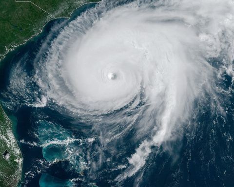
Category 4 Hurricane Erin Churns Off East Coast – Live Tracking, Forecast Path & Expert Warnings

Two Hurricanes Locked in a Rare ‘Fujiwhara’ Dance: Will Imelda Strike or Spiral Away?

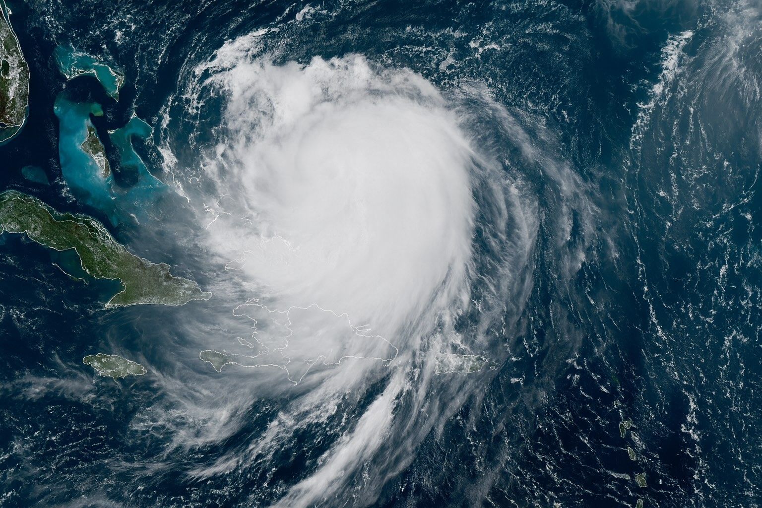
Tropical Depression Nine (Imelda) – A Southeast Threat A tropical disturbance over Cuba and the Bahamas organized into Tropical Depression Nine on Sept. 27. By late Sunday it should become Tropical Storm Imelda 6abc.com. At 8 a.m. ET Sunday it was centered about 285 miles north-west of eastern Cuba and 100 miles WSW of the central Bahamas, moving NNW at 7 mph with 35 mph winds 6abc.com. The National Hurricane Center expects gradual strengthening: Imelda should track north through the Bahamas and then parallel the Florida coast over the weekend abcnews.go.com accuweather.com. A tropical storm watch is already in effect along the
28 September 2025
Humberto Explodes Into a Hurricane: See the Track, Who’s at Risk This Weekend, and the Wild ‘Storm Dance’ That Could Change Everything

Humberto Explodes Into a Hurricane: See the Track, Who’s at Risk This Weekend, and the Wild ‘Storm Dance’ That Could Change Everything

Updated: 26 September 2025 — data current to 09:00 UTC (5:00 a.m. AST) The forecast at a glance Where is Humberto now?As of 09:00 UTC (5:00 a.m. AST) Fri, Sep 26, Hurricane Humberto was centered near 22.2° N, 57.3° W—about 465 miles (750 km) NE of the northern Leeward Islands—with 75 mph sustained winds and a 990 mb minimum pressure. Motion is NW ~3 mph. No coastal watches/warnings are in effect. National Hurricane Center How strong will it get, and where is it headed?NHC’s official track intensifies Humberto steadily, reaching Cat 3 by Sunday, then peaking near 115 kt (Category 4) late Sunday into Monday while it tracks NW then N
26 September 2025
Hurricane Erin Intensifies as High-Tech Tools – from AI to Drones – Track Its Every Move

Hurricane Erin Intensifies as High-Tech Tools – from AI to Drones – Track Its Every Move

Erin formed in the Atlantic in mid-August 2025 and is the first hurricane of the season. As of August 15, 2025, Erin is a Category 1 hurricane with sustained winds near 75 mph and a central pressure around 993 mb, located hundreds of miles east of the northern Leeward Islands and moving west-northwest at about 17–18 mph. Forecasters expect Erin to rapidly intensify to a major hurricane (Category 3+) by the weekend and possibly reach Category 4 (130+ mph) by early next week. The forecast track shows Erin curving north, passing just north of the Leeward Islands, Virgin Islands and
15 August 2025
 ·  ·  ·  · 
Go toTop