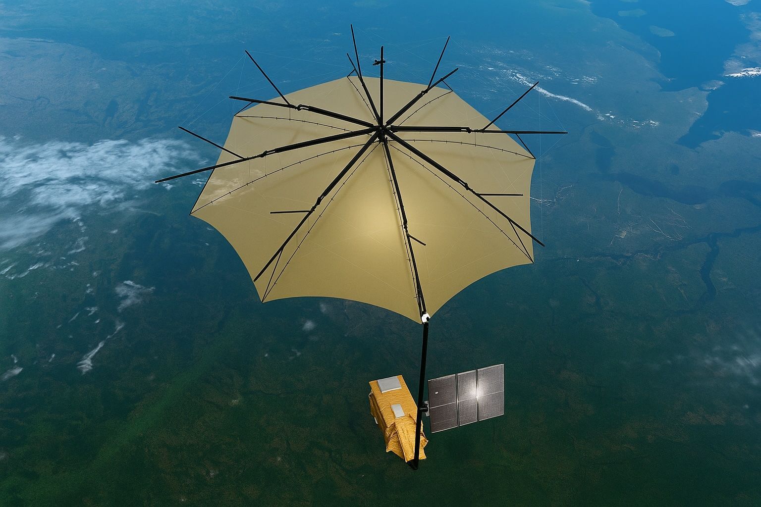
X-Ray Vision for Forests: ESA’s Biomass Satellite and the P-Band Radar Revolution in Carbon Accounting
The ESA Biomass satellite, launched on April 29, 2025, carries the first P-band synthetic aperture radar (435 MHz) to map the world’s forests in 3D and quantify their carbon content. The mission uses a 12-meter deployable antenna—the largest radar antenna