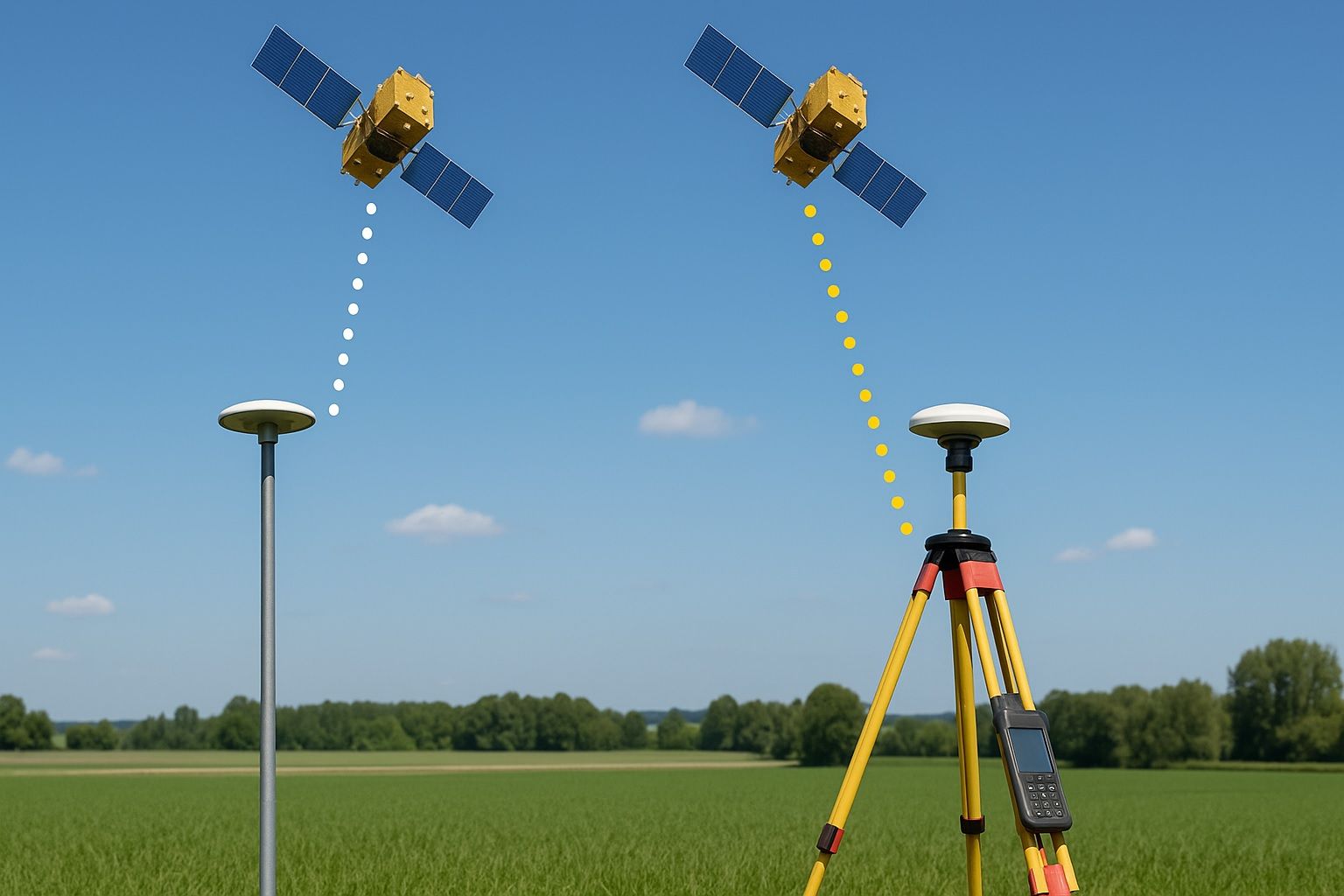
Differential positioning is a technique used in various fields such as geodesy, surveying, and navigation to determine the precise location of a point by comparing its position to another known point. This method often utilizes data from multiple GPS receivers to enhance accuracy and mitigate errors caused by atmospheric conditions, satellite geometry, and other factors. In differential positioning, one receiver is placed at a fixed location with a known coordinate (base station), while the other receiver (rover) moves to the point of interest. The base station continuously calculates the difference in signals and sends correction data to the rover, enabling it to compute its position relative to the fixed point with high precision. This approach significantly improves the accuracy of location measurements compared to standalone GPS positioning.