Browse Tag

Earth Observation

See Your House from Space? Inside the World of Live Satellite Maps and Weather from Orbit

See Your House from Space? Inside the World of Live Satellite Maps and Weather from Orbit

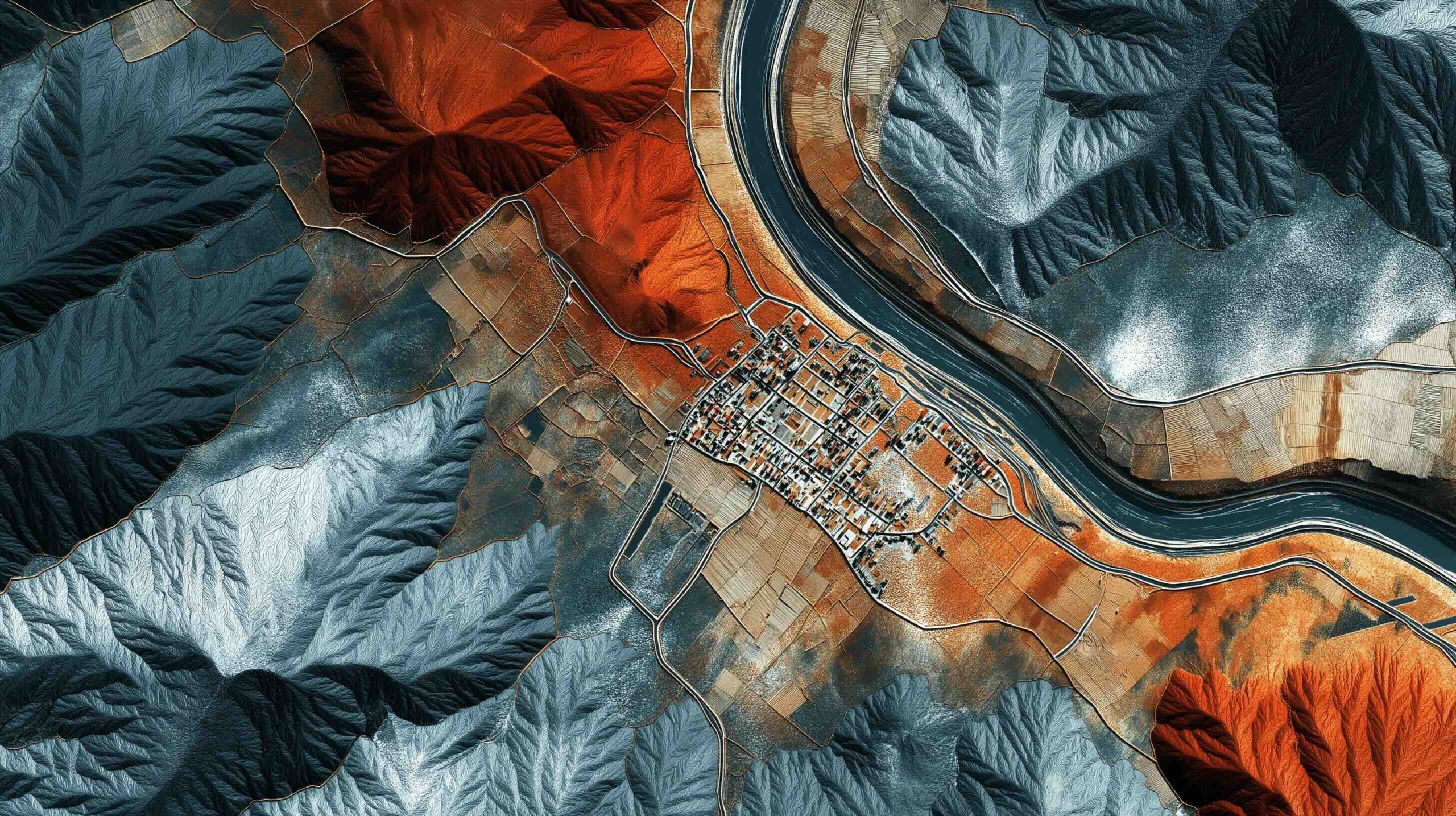
Google Earth was downloaded over one billion times in its first six years. Google Earth’s Time Machine covers 1984 to 2022 in a 4D interactive map built from millions of satellite photos. The Landsat program began in 1972 and offers a 50+ year global land-surface data record, with Landsat 8 and 9 providing 30-meter resolution imagery. Sentinel-2A and 2B image the entire Earth’s land every 5 days at 10-meter resolution (20 meters for some infrared bands). Maxar’s WorldView-3 and WorldView-4 offer 30-centimeter imagery, and the upcoming WorldView Legion aims for up to 15 revisits per day at 30 cm. Planet
28 July 2025
 ·  ·  ·  · 
Space Tech’s Summer Surge – Record Launches, Orbital Innovations & Earth Observation Revolution (June–July 2025)

Space Tech’s Summer Surge – Record Launches, Orbital Innovations & Earth Observation Revolution (June–July 2025)

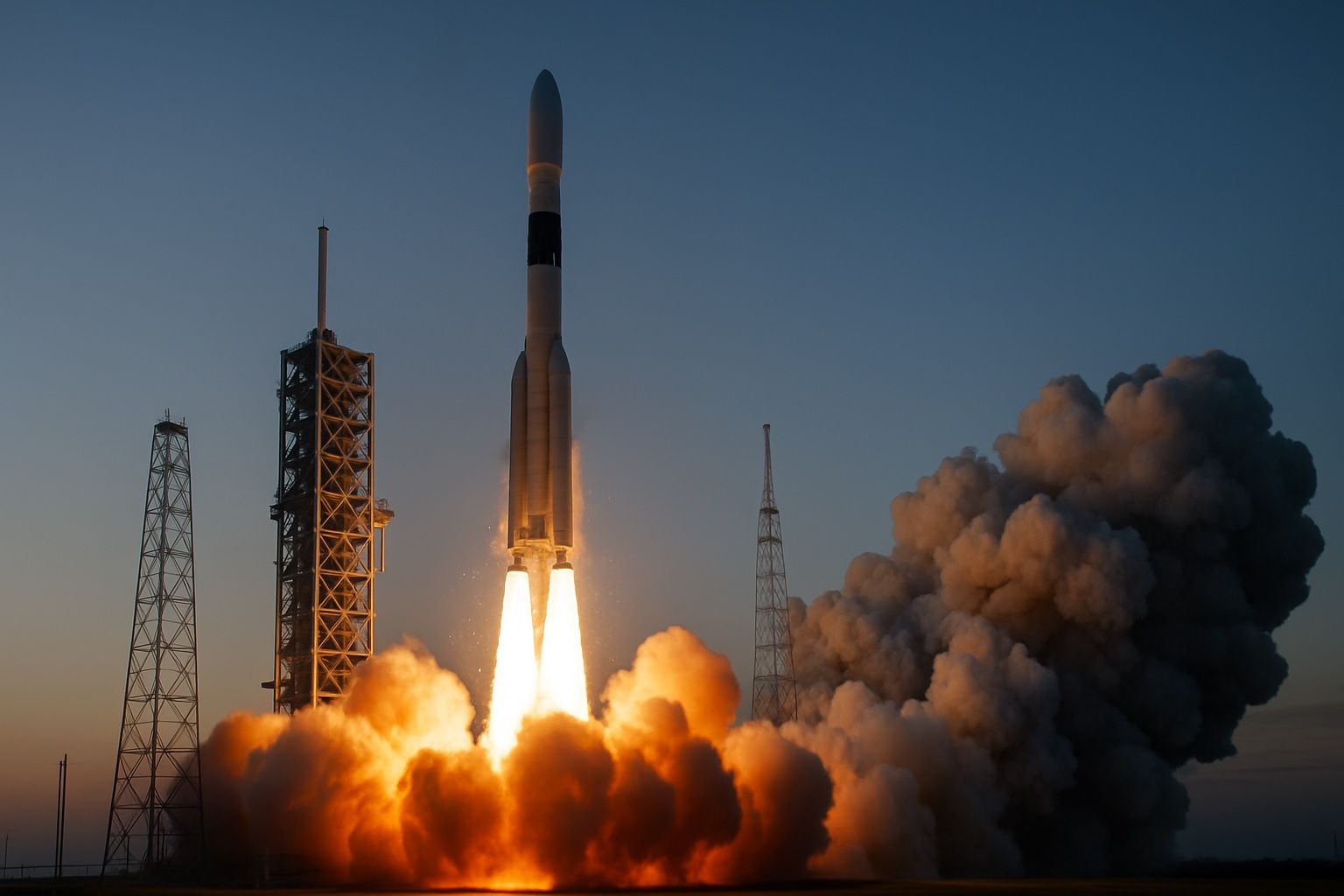
SpaceX achieved its 500th Falcon 9 mission in early July 2025, with an overnight Starlink launch featuring a booster on its 29th reuse. By July 2, 2025, SpaceX had conducted 83 Falcon 9 missions in 2025, including 61 Starlink deployments. In June 2025, the United States saw 21 commercial launches across four providers, with SpaceX accounting for 15, and 12 of those were Starlink missions. On June 28, 2025, four orbital launches occurred within 13 hours, including two SpaceX Falcon 9 Starlink missions, a Rocket Lab Electron, and Japan’s H-2A. Japan’s H-2A rocket completed its final mission on June 28,
This Week in Space: Reusable Rockets, Interstellar Visitors, and the Future of Earth Observation / Updated: 2025, July 6th, 23:59 CET

This Week in Space: Reusable Rockets, Interstellar Visitors, and the Future of Earth Observation / Updated: 2025, July 6th, 23:59 CET

Themis arrives at Esrange Space Center in Sweden, Europe’s first full-scale reusable rocket stage demonstrator by ArianeGroup for ESA’s reusability roadmap, after a 3,000-kilometer journey and hop-tests expected to begin in late 2025 under the EU SALTO project. 3I/ATLAS (C/2025 N1), the third known interstellar object to visit our solar system, is traveling at about 60 km/s with cometary activity and will be visible until September 2025. MethaneSAT, a $100 million climate mission launched in March 2024 to map global methane emissions, has suffered a power failure and is likely not recoverable, a major setback for climate monitoring. The UK
7 July 2025
Airbus CO3D: AI-Powered, Laser-Linked Constellation for 50 cm Global 3D Mapping

Airbus CO3D: AI-Powered, Laser-Linked Constellation for 50 cm Global 3D Mapping

CO3D comprises four identical S250-based satellites, each weighing about 250–300 kg with 100% electric propulsion, delivering ~50 cm spatial-resolution optical imagery. It aims to produce a global Digital Surface Model with ~1 m vertical accuracy and to map ~40 million km² of Earth’s land per year in 3D. The system targets roughly 90% of the globe’s land areas between ±70° latitude to be mapped within five years. Satellites operate in two pairs on opposite sides of Earth, with ~100 km separation in the same orbit plane to enable synchronized stereo imaging. The four-satellite launch is planned for 25 July 2025
Laser vs. Radar: Shocking Secrets of Earth’s Shrinking Ice Revealed from Space

Laser vs. Radar: Shocking Secrets of Earth’s Shrinking Ice Revealed from Space

ICESat-2 (NASA) launched September 15, 2018 on a Delta II rocket and carries the Advanced Topographic Laser Altimeter System (ATLAS), a photon-counting laser that operates from a ~481 km near-polar orbit (92°) with ground tracks repeating every 91 days to map ice sheets, sea-ice freeboard, glacier height, and forest canopy. CryoSat-2 (ESA) launched April 8, 2010 on a Dnepr rocket, in a ~717 km, 92° inclined drifting orbit not sun-synchronous and reaching up to 88° latitude to measure ice thickness on land and sea. ICESat-2 fires about 10,000 laser pulses per second (532 nm green) with six beams, producing an
Oceanography and the Eye in the Sky: How Satellites Are Redefining Our Oceans

Oceanography and the Eye in the Sky: How Satellites Are Redefining Our Oceans

Since 1993, TOPEX/Poseidon and the Jason series have produced a continuous global mean sea level record, showing a rise of about 3.1–3.3 millimeters per year with acceleration to over 4 millimeters per year in the last decade and by 2023 the global mean sea level was over 100 millimeters higher than in 1993. Seasat (1978) carried a radar altimeter and, during its 105-day mission, provided ocean data that followed GEOS-3’s 1975 testing of radar altimetry. TOPEX/Poseidon, launched in 1992, carried two altimeters (NASA Ku/C-band and CNES Poseidon) and achieved sea-surface height accuracy of about 2–3 centimeters on a 10-day repeat
Eyes in the Sky: How Earth Observation Is Revolutionizing Disaster Management

Eyes in the Sky: How Earth Observation Is Revolutionizing Disaster Management

Sentinel-1 radar imaged the aftermath of Cyclone Idai in Mozambique in 2019 and revealed approximately 2,165 km² of flooding around the coastal city of Beira. Idai’s satellite flood maps pinpointed about 400,000 people stranded and helped allocate rescue resources. NOAA’s GOES weather satellites monitored Hurricane Dorian in 2019 as it approached the Bahamas, providing real-time imagery for track and intensity forecasts. The 2010 Eyjafjallajökull eruption led to satellites tracking its ash plume across Europe, prompting unprecedented airspace closures. In July 2019, NASA’s FIRMS distributed over 780,000 near real-time fire alerts worldwide. The NASA–ISRO NISAR mission, launching in 2024, will scan
Exploring the World from Above: Top Satellite Mapping Services for Web & Mobile in 2025

Exploring the World from Above: Top Satellite Mapping Services for Web & Mobile in 2025

Google Earth offers imagery from global 15 m resolution down to sub-meter detail (30–50 cm) in many urban areas, plus 3D buildings and terrain across hundreds of cities, accessible on web, iOS/Android, and Google Earth Pro desktop. Imagery updates on Google Earth are rolling, with urban areas refreshed roughly every 1–3 years, rural areas 5+ years, major disasters updating within days, and new imagery patches released about twice a month. Google Earth Pro provides a historical imagery slider that lets users go back in time to view satellite and aerial photos dating back to the 1930s in some locations. Google
Hyperspectral Eyes in the Sky: How Space-Based Imaging Is Revolutionizing Earth Observation

Hyperspectral Eyes in the Sky: How Space-Based Imaging Is Revolutionizing Earth Observation

NASA’s Hyperion, launched in 2000 on the EO-1 satellite, collected 220 spectral bands from 400 to 2500 nm at 30 m resolution. A hyperspectral data cube stacks hundreds of narrow wavelength bands for every ground pixel, creating a two-dimensional spatial image plus a spectral dimension. Hyperspectral imaging records hundreds of narrow bands (often 10 nm or less) enabling identification of materials by their spectral fingerprints, unlike RGB’s 3 broad bands or multispectral’s 5–30 bands. Space-based hyperspectral sensors are typically passive, in sun-synchronous low Earth orbits, and commonly use pushbroom scanning to build full images with high signal-to-noise ratio. The VNIR-SWIR
Sky Scanners: How SAR Imaging Satellites Are Redefining Earth Observation

Sky Scanners: How SAR Imaging Satellites Are Redefining Earth Observation

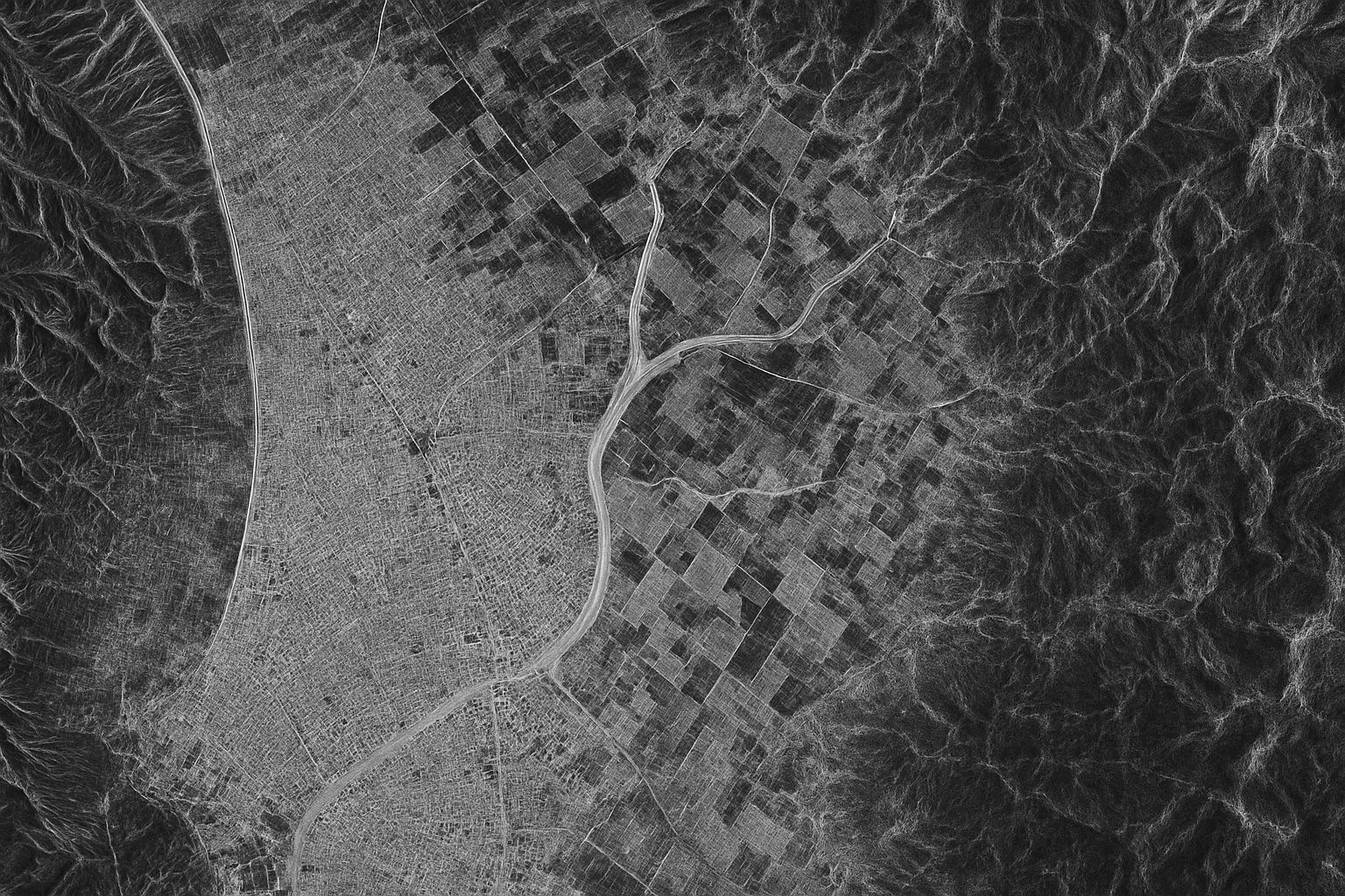
About 75% of the planet is obscured by cloud cover or darkness at any moment, making optical imaging inaccessible. Synthetic Aperture Radar (SAR) satellites actively illuminate the ground with microwave radar and synthesize a large aperture by moving the antenna to produce high-resolution images. SAR can operate day or night and in all weather, providing 24/7 imaging. Sentinel-1 (ESA) comprises satellites Sentinel-1A launched in 2014 and Sentinel-1B in 2016, with C-band SAR offering ~5 m resolution in high-resolution modes and 250–400 km swaths, and a 12-day revisit. RADARSAT-2 (Canada) launched in 2007, followed by the RADARSAT Constellation Mission (RCM) in
Eyes in the Sky: How Satellites Are Revealing Our Changing Climate

Eyes in the Sky: How Satellites Are Revealing Our Changing Climate

Radar altimeters on TOPEX/Poseidon, Jason-1, Jason-2, Jason-3, and Sentinel-6 Michael Freilich have provided a global mean sea level record since 1992, showing a rise of about 3.3 millimeters per year and roughly 10 centimeters over 30 years. Arctic summer sea ice extent has declined by about 12% per decade since the 1980s, with the Arctic minimum shrinking from about 7.5 million km² in 1980 to 4.4 million km² in 2023. GRACE and GRACE-FO gravity missions have revealed that Greenland and Antarctica are losing hundreds of billions of tons of ice each year, contributing to sea level rise. NASA’s PACE mission,
6 June 2025
Go toTop