LIM Center, Aleje Jerozolimskie 65/79, 00-697 Warsaw, Poland
+48 (22) 364 58 00

Tag: GPS

TS2 Space - Global Satellite Services

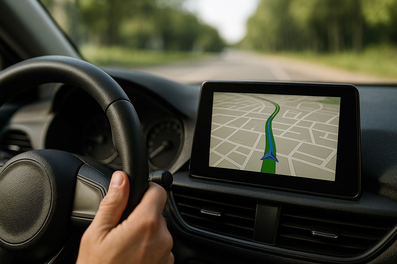
GPS stands for Global Positioning System. It is a satellite-based navigation system that provides location and time information in all weather conditions, anywhere on or near the Earth’s surface. Developed by the United States Department of Defense, GPS operates through a network of satellites that transmit signals to GPS receivers. By triangulating signals from multiple satellites, a GPS device can determine its precise location (latitude, longitude, and altitude) within meters. GPS technology is widely used in various applications, including navigation for vehicles, aircraft, and marine vessels, as well as in smartphones, geographic information systems (GIS), and various scientific and military operations.

Everything You Never Knew You Needed to Know About Differential and Precise Point Positioning

Global Navigation Satellite Systems (GNSS) like GPS have revolutionized how we find our position on Earth. Yet, the standard GPS accuracy (on the order of several meters) often isn’t sufficient for missions like precision farming, engineering surveys, autonomous navigation, or tectonic measurements gssc.esa.int. To bridge this accuracy gap, two advanced techniques have emerged over the…
Read more

Global Navigation Showdown: How GPS III, Galileo, BeiDou & GLONASS Upgrades Will Change How You Navigate

Have you ever taken GPS for granted on your phone and wondered if other countries have their own “GPS”? It turns out an intense global navigation space race is underway – and the upgrades are astonishing. The U.S., Europe, China, and Russia are modernizing and expanding their Global Navigation Satellite Systems (GNSS) like never before.…
Read more