Browse Tag

Hurricane

After Hurricane Helene: Massive USDA Grants, Shocking Damage Statistics and the Long Road to Recovery – What It Means for Farmers

After Hurricane Helene: Massive USDA Grants, Shocking Damage Statistics and the Long Road to Recovery – What It Means for Farmers

Hurricane Helene: A Record‑Setting Storm Hurricane Helene developed in late September 2024 and rapidly intensified over the Gulf of Mexico before making landfall near Florida’s Big Bend on Oct. 10. With 140‑mph winds, it was the first Category‑4 hurricane to hit that region since record‑keeping began in 1851 farmpolicynews.illinois.edu. The storm maintained hurricane strength across Georgia and the Carolinas, dropping more than 30 inches of rain in some areas and causing catastrophic freshwater flooding. According to the National Hurricane Center (NHC), Helene caused at least 176 direct deaths and 71 indirect deaths; most fatalities were caused by winds or freshwater flooding nhc.noaa.gov. Georgia recorded 37
Humberto Explodes Into a Hurricane: See the Track, Who’s at Risk This Weekend, and the Wild ‘Storm Dance’ That Could Change Everything

Humberto Explodes Into a Hurricane: See the Track, Who’s at Risk This Weekend, and the Wild ‘Storm Dance’ That Could Change Everything

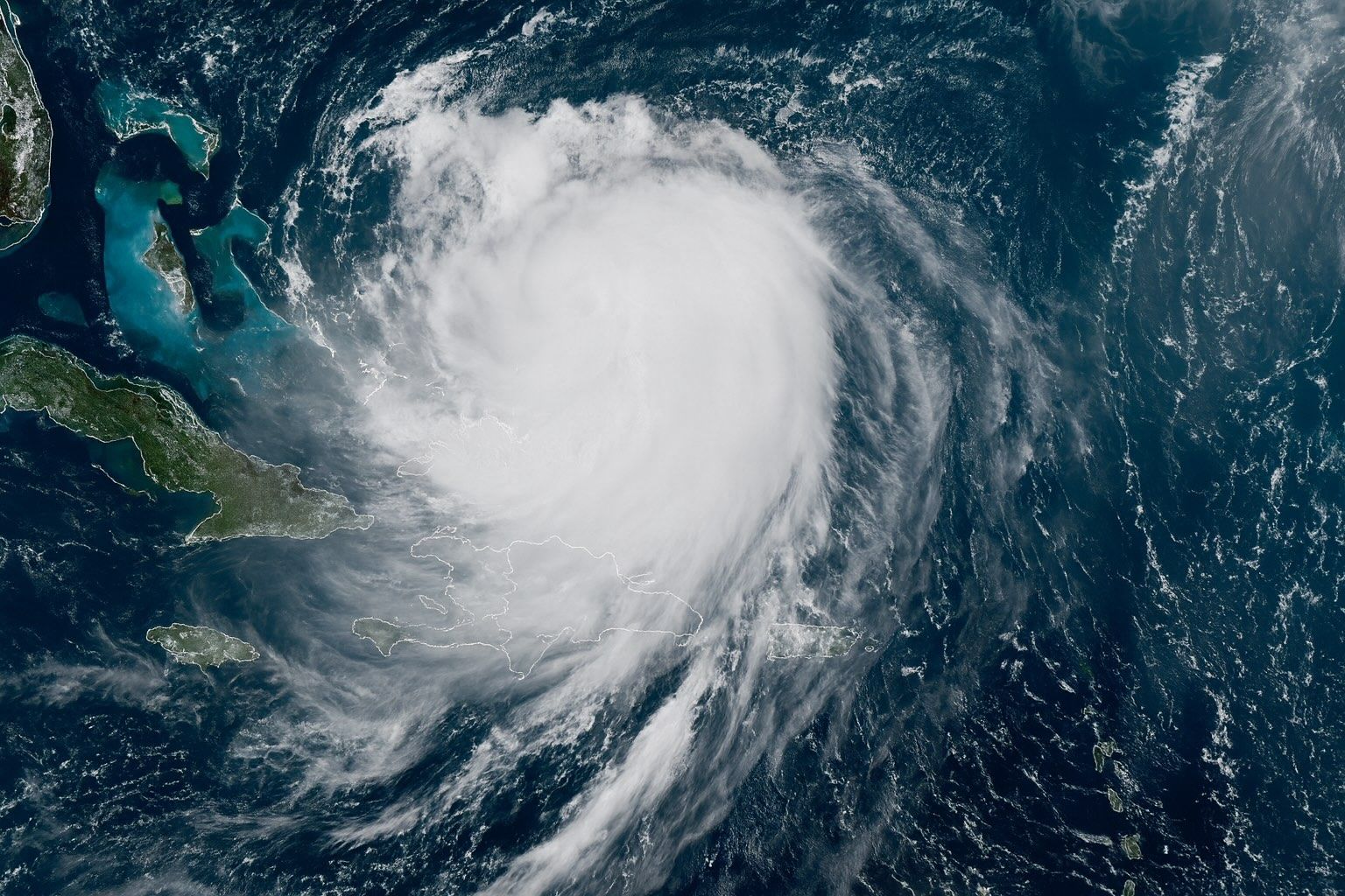
Updated: 26 September 2025 — data current to 09:00 UTC (5:00 a.m. AST) The forecast at a glance Where is Humberto now?As of 09:00 UTC (5:00 a.m. AST) Fri, Sep 26, Hurricane Humberto was centered near 22.2° N, 57.3° W—about 465 miles (750 km) NE of the northern Leeward Islands—with 75 mph sustained winds and a 990 mb minimum pressure. Motion is NW ~3 mph. No coastal watches/warnings are in effect. National Hurricane Center How strong will it get, and where is it headed?NHC’s official track intensifies Humberto steadily, reaching Cat 3 by Sunday, then peaking near 115 kt (Category 4) late Sunday into Monday while it tracks NW then N
26 September 2025
Category 4 Hurricane Erin Churns Off East Coast – Live Tracking, Forecast Path & Expert Warnings

Category 4 Hurricane Erin Churns Off East Coast – Live Tracking, Forecast Path & Expert Warnings

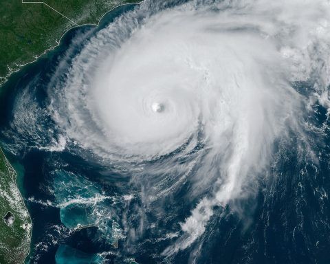
Erin is a Category 4 hurricane with sustained winds near 130 mph as of Aug. 18, 2025. The NHC placed Erin’s center near 24.1°N, 71.5°W, about 695 miles southwest of Bermuda. Hurricane-force winds extend about 80 miles from the center, and tropical-storm-force winds reach up to 230 miles. Forecast models indicate Erin will recur north between Bermuda and the U.S. East Coast, stay offshore, turn north on Tuesday, and accelerate northeast into the open Atlantic. Erin reached Category 5 on Aug. 16, 2025, with peak winds near 160 mph, in just over 27 hours from tropical-storm strength, making it the
19 August 2025
Go toTop