Browse Tag

storms

Houston Left in the Dark: Severe Weekend Storms Knock Out Power for 160K+ (Live Update)

Houston Left in the Dark: Severe Weekend Storms Knock Out Power for 160K+ (Live Update)

Sources & Updates: All figures and forecasts are from local news and official advisories. Utility outage trackers were used for numbers fox26houston.com click2houston.com. Meteorological details come from the National Weather Service and Chronicle forecasters houstonchronicle.com houstonchronicle.com. Utility statements and expert quotes are from CenterPoint/Click2Houston reports click2houston.com houstonchronicle.com. Stock data is from MarketScreener historical quotes marketscreener.com marketscreener.com. (For broader context on storms this season, note technology-driven forecasting improvements – e.g. satellites providing “detailed, real-time views” in an active 2025 hurricane season ts2.tech.) As the situation evolves on Oct 25, we will update with any new restoration timelines or significant developments.
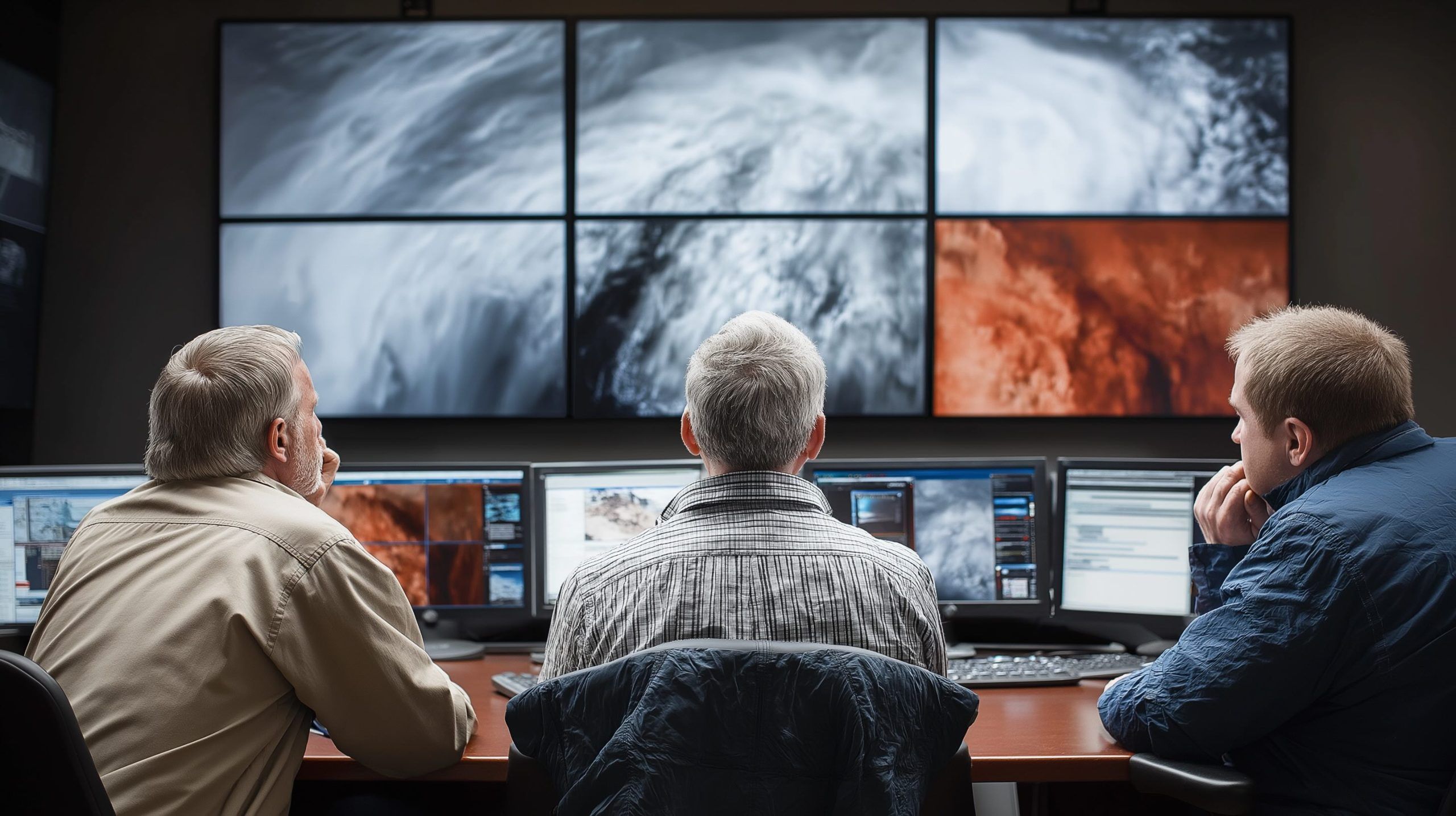
25 October 2025
Sky Spies: The Ultimate Guide to Weather Satellites Tracking Storms, Saving Lives, and Monitoring Climate

Sky Spies: The Ultimate Guide to Weather Satellites Tracking Storms, Saving Lives, and Monitoring Climate

TIROS-1, launched by NASA on April 1, 1960, weighed about 120 kg and transmitted over 19,000 cloud images in 78 days, proving the concept of space-based weather observation. GOES-16 (GOES-East), launched in 2016 as part of the GOES-R series, delivers 0.5 km resolution imagery across 16 spectral bands and can scan as often as 30 seconds, and it carries the Geostationary Lightning Mapper. Meteosat-1, launched in 1977, was Europe’s first geostationary meteorological satellite at 0° longitude and introduced a water vapor channel for moisture tracking. Japan’s Himawari-8 (2014) and Himawari-9 (2016) operate at 140°E, providing high-resolution full-disk imagery every 10
19 June 2025
Go toTop