LIM Center, Aleje Jerozolimskie 65/79, 00-697 Warsaw, Poland
+48 (22) 364 58 00
ts@ts2.pl

Tag: Weather

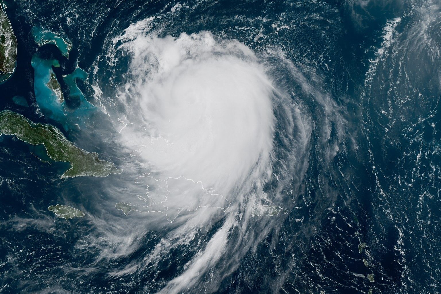
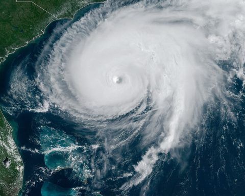
Category 4 Hurricane Erin Churns Off East Coast – Live Tracking, Forecast Path & Expert Warnings

Erin is a Category 4 hurricane with sustained winds near 130 mph as of Aug. 18, 2025. The NHC placed Erin’s center near 24.1°N, 71.5°W, about 695 miles southwest of Bermuda. Hurricane-force winds extend about 80 miles from the center, and tropical-storm-force winds reach up to 230 miles. Forecast models indicate Erin will recur north…
Read more

See Your House from Space? Inside the World of Live Satellite Maps and Weather from Orbit

Google Earth was downloaded over one billion times in its first six years. Google Earth’s Time Machine covers 1984 to 2022 in a 4D interactive map built from millions of satellite photos. The Landsat program began in 1972 and offers a 50+ year global land-surface data record, with Landsat 8 and 9 providing 30-meter resolution…
Read more

Peering Through Clouds: Microwave Radiometry’s Crucial Role in Weather Prediction

Microwave radiometers measure brightness temperature from natural microwave emissions, enabling all-weather, day‑and‑night sensing through clouds, haze, and light rain. Oxygen absorption bands around 60 GHz (with a separate line at 118 GHz) are used for temperature sounding, while water vapor absorbs near 22.235 GHz and 183 GHz for humidity profiling. Nimbus-7 SMMR, launched in 1978,…
Read more

Sky Watchers: The 2025–2033 Boom in Weather & Climate Satellite Constellations

Over 5,400 Earth observation satellites are projected to be launched globally from 2024 to 2033, nearly triple the previous decade. NOAA’s GeoXO program will deploy at least three geostationary satellites (with options up to four more) to upgrade GOES-R and extend Western Hemisphere coverage, following a $2.27 billion contract awarded to Lockheed Martin in 2024.…
Read more

Solar Tempests & Orbital Guardians: The Secret Life of Space-Weather Satellites

1859: British astronomer Richard Carrington observed a powerful solar flare, and within a day telegraph systems worldwide went haywire while auroras appeared near the equator—the Carrington Event, the largest geomagnetic storm on record. During the 1957–58 International Geophysical Year, Explorer-1 became the first U.S. satellite to discover the Van Allen radiation belts encircling Earth. SOHO,…
Read more

Sky Spies: The Ultimate Guide to Weather Satellites Tracking Storms, Saving Lives, and Monitoring Climate

TIROS-1, launched by NASA on April 1, 1960, weighed about 120 kg and transmitted over 19,000 cloud images in 78 days, proving the concept of space-based weather observation. GOES-16 (GOES-East), launched in 2016 as part of the GOES-R series, delivers 0.5 km resolution imagery across 16 spectral bands and can scan as often as 30…
Read more