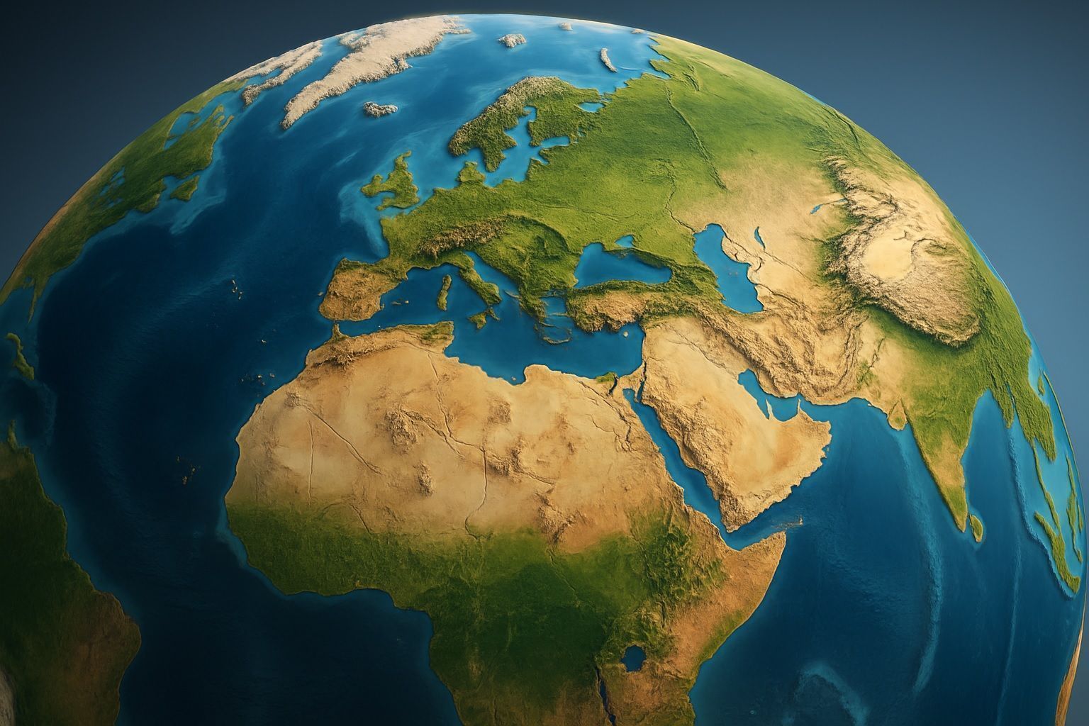
Airbus CO3D: AI-Powered, Laser-Linked Constellation for 50 cm Global 3D Mapping
CO3D comprises four identical S250-based satellites, each weighing about 250–300 kg with 100% electric propulsion, delivering ~50 cm spatial-resolution optical imagery. It aims to produce a global Digital Surface Model with ~1 m vertical accuracy and to map ~40 million