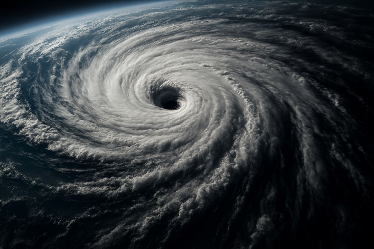
Eyes in the Sky: How Earth Observation Is Revolutionizing Disaster Management
Sentinel-1 radar imaged the aftermath of Cyclone Idai in Mozambique in 2019 and revealed approximately 2,165 km² of flooding around the coastal city of Beira. Idai’s satellite flood maps pinpointed about 400,000 people stranded and helped allocate rescue resources. NOAA’s GOES weather satellites monitored Hurricane Dorian in 2019 as it approached the Bahamas, providing real-time imagery for track and intensity forecasts. The 2010 Eyjafjallajökull eruption led to satellites tracking its ash plume across Europe, prompting unprecedented airspace closures. In July 2019, NASA’s FIRMS distributed over 780,000 near real-time fire alerts worldwide. The NASA–ISRO NISAR mission, launching in 2024, will scan