Browse Category

Radar News 23 June 2025 - 26 June 2025

Radar Vision Boom: Why High‑Res SAR Imaging is Skyrocketing Toward 2030

Radar Vision Boom: Why High‑Res SAR Imaging is Skyrocketing Toward 2030

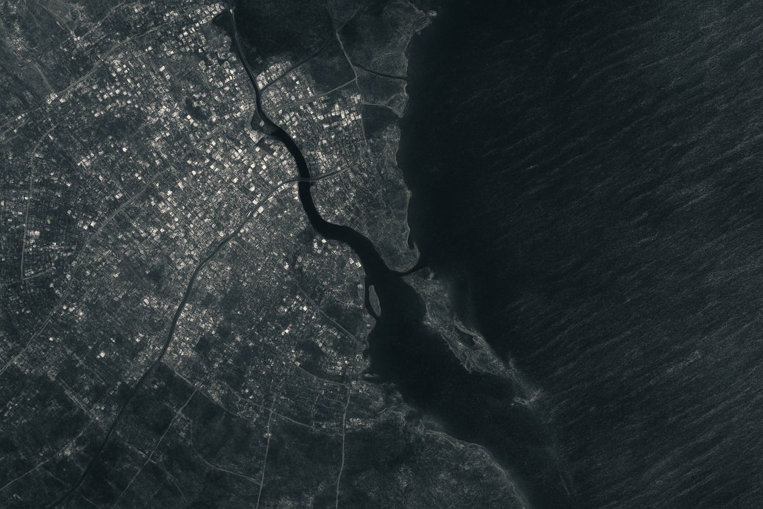
The global high-resolution SAR imaging market was about $5.4 billion in 2024 and is forecast to reach about $11.6 billion by 2030, a CAGR of roughly 13%. Capella Space had around 10–15 satellites in 2024 delivering 0.5 m and 0.25 m resolution imagery, while ICEYE operates the world’s largest SAR constellation with 20+ satellites. Recent commercial SAR missions have achieved sub-meter resolution, with Umbra reporting ~25 cm imagery and Capella demonstrating ~30 cm and 25 cm-class products. NASA-ISRO’s NISAR mission will carry both an L-band and an S-band radar on the same satellite. North America accounted for about 33.8% of
Laser vs. Radar: Shocking Secrets of Earth’s Shrinking Ice Revealed from Space

Laser vs. Radar: Shocking Secrets of Earth’s Shrinking Ice Revealed from Space

ICESat-2 (NASA) launched September 15, 2018 on a Delta II rocket and carries the Advanced Topographic Laser Altimeter System (ATLAS), a photon-counting laser that operates from a ~481 km near-polar orbit (92°) with ground tracks repeating every 91 days to map ice sheets, sea-ice freeboard, glacier height, and forest canopy. CryoSat-2 (ESA) launched April 8, 2010 on a Dnepr rocket, in a ~717 km, 92° inclined drifting orbit not sun-synchronous and reaching up to 88° latitude to measure ice thickness on land and sea. ICESat-2 fires about 10,000 laser pulses per second (532 nm green) with six beams, producing an
Go toTop