Browse Category

Remote Sensing News 7 June 2025 - 27 June 2025

Scanning the Canopy: ESA’s Biomass Radar Craft Maps Global Forest Carbon with P‑Band Vision

Scanning the Canopy: ESA’s Biomass Radar Craft Maps Global Forest Carbon with P‑Band Vision

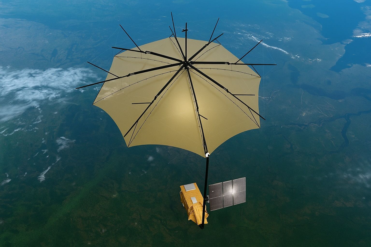
Biomass was selected in May 2013 as ESA’s seventh Earth Explorer mission to quantify forest carbon from space. The mission uses a P-band synthetic aperture radar at ~435 MHz (about 70 cm wavelength) with a 12-meter mesh reflector deployed in orbit to penetrate canopies and sense trunks. It employs fully polarimetric SAR (HH, HV, VH, VV) and SAR tomography to produce three-dimensional maps of forest structure and above-ground biomass. Biomass launched on 29 April 2025 aboard a Vega-C rocket (flight VV26) into a 666 km sun-synchronous orbit, carrying a ~1.25-tonne observatory. The project aims for wall-to-wall global biomass maps, delivering
Radar Vision Boom: Why High‑Res SAR Imaging is Skyrocketing Toward 2030

Radar Vision Boom: Why High‑Res SAR Imaging is Skyrocketing Toward 2030

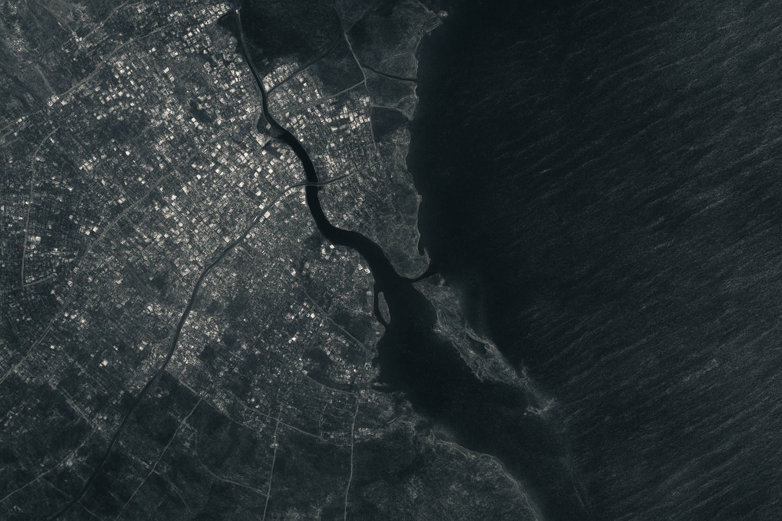
The global high-resolution SAR imaging market was about $5.4 billion in 2024 and is forecast to reach about $11.6 billion by 2030, a CAGR of roughly 13%. Capella Space had around 10–15 satellites in 2024 delivering 0.5 m and 0.25 m resolution imagery, while ICEYE operates the world’s largest SAR constellation with 20+ satellites. Recent commercial SAR missions have achieved sub-meter resolution, with Umbra reporting ~25 cm imagery and Capella demonstrating ~30 cm and 25 cm-class products. NASA-ISRO’s NISAR mission will carry both an L-band and an S-band radar on the same satellite. North America accounted for about 33.8% of
Umbrella in Orbit: ESA’s BIOMASS Satellite Lifts Earth’s Green Veil, Revealing Hidden Carbon Stores and Jaw‑Dropping First Images

X-Ray Vision for Forests: ESA’s Biomass Satellite and the P-Band Radar Revolution in Carbon Accounting

The ESA Biomass satellite, launched on April 29, 2025, carries the first P-band synthetic aperture radar (435 MHz) to map the world’s forests in 3D and quantify their carbon content. The mission uses a 12-meter deployable antenna—the largest radar antenna ever flown—to enable detection of biomass changes as small as 10–20 tons per hectare. Biomass operates in a polar Sun-synchronous orbit at about 666 km altitude for a five-year lifespan, scanning tropical, temperate, and boreal forests globally. The long-wavelength P-band radar (about 70 cm) penetrates dense foliage to measure forest height, volume, and biomass from canopy to trunk to ground.
Umbrella in Orbit: ESA’s BIOMASS Satellite Lifts Earth’s Green Veil, Revealing Hidden Carbon Stores and Jaw‑Dropping First Images

Umbrella in Orbit: ESA’s BIOMASS Satellite Lifts Earth’s Green Veil, Revealing Hidden Carbon Stores and Jaw‑Dropping First Images

BIOMASS uses a fully polarimetric P-band SAR with a 70 cm wavelength to pierce through canopies and measure woody trunks where most forest carbon is stored. The 12-meter deployable reflector, shaped like an umbrella and built by L3Harris, directs radar pulses back to the sensor. The 1.25-tonne spacecraft was launched on 29 April 2025 aboard a Vega-C rocket from Kourou into a 666 km sun-synchronous orbit (flight VV26). The gold-colored reflector unfurled in orbit on 7 May 2025, marking a key commissioning milestone. First images show colour-coded maps of the Amazon, Indonesia, and the bedrock of the Sahara. By combining
24 June 2025
Oceanography and the Eye in the Sky: How Satellites Are Redefining Our Oceans

Oceanography and the Eye in the Sky: How Satellites Are Redefining Our Oceans

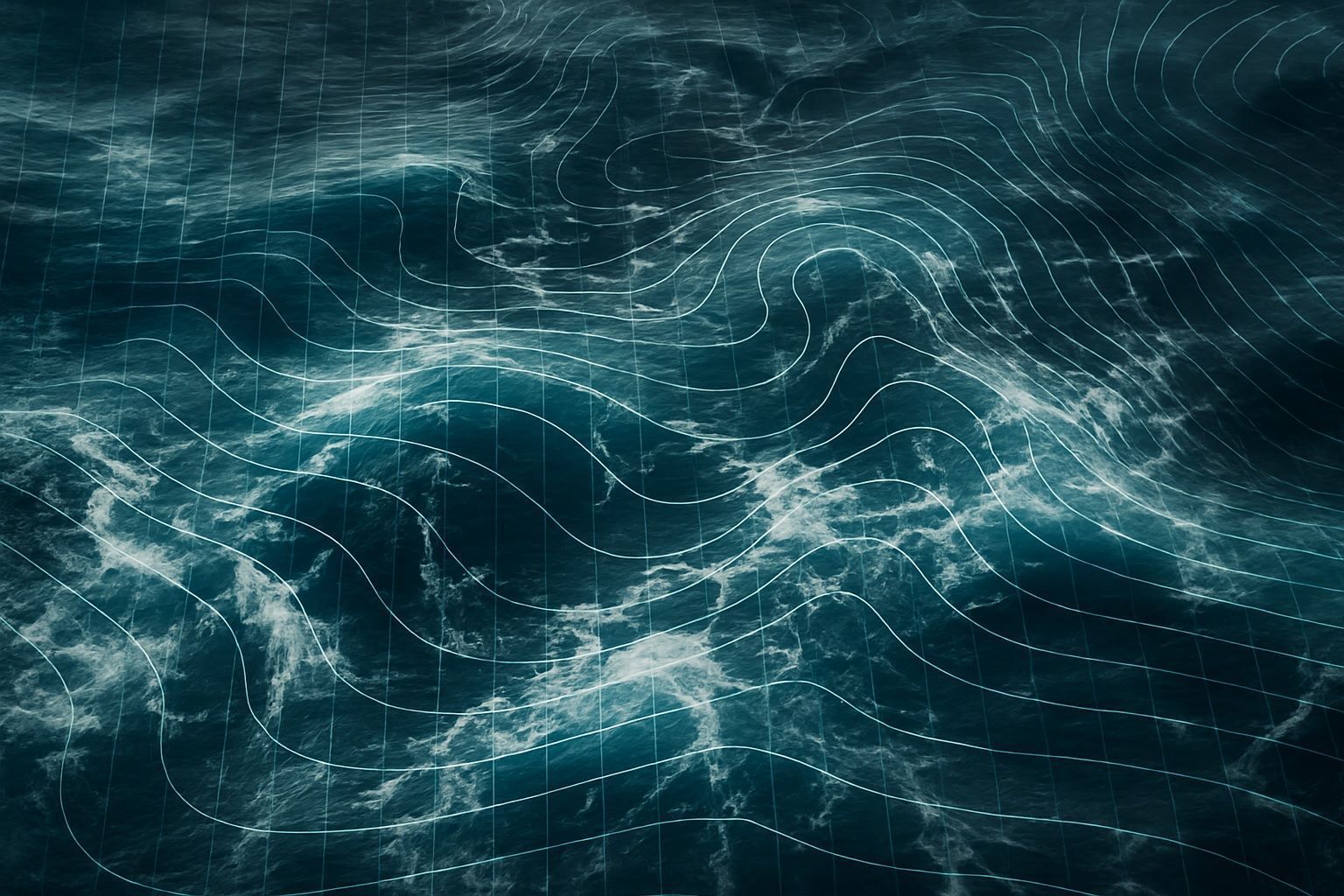
Since 1993, TOPEX/Poseidon and the Jason series have produced a continuous global mean sea level record, showing a rise of about 3.1–3.3 millimeters per year with acceleration to over 4 millimeters per year in the last decade and by 2023 the global mean sea level was over 100 millimeters higher than in 1993. Seasat (1978) carried a radar altimeter and, during its 105-day mission, provided ocean data that followed GEOS-3’s 1975 testing of radar altimetry. TOPEX/Poseidon, launched in 1992, carried two altimeters (NASA Ku/C-band and CNES Poseidon) and achieved sea-surface height accuracy of about 2–3 centimeters on a 10-day repeat
Satellite Imagery: Principles, Applications, and Future Trends

Satellite Imagery: Principles, Applications, and Future Trends

The first space images were captured in 1946 from a sub-orbital U.S. V-2 rocket at about 105 km altitude. The first actual satellite photograph of Earth was taken on August 14, 1959 by the U.S. Explorer 6 satellite. In 1960, TIROS-1 transmitted the first television image of Earth from orbit, a milestone for weather observation. Landsat 1, launched in 1972, began the longest-running civilian Earth-observation program with a 50-year archive, and Landsat 9 was launched in 2021 to continue it. The KH-11 KENNEN program began near-real-time digital imaging in 1977, eliminating the need for film return. IKONOS, launched in 1999,
Go toTop