Browse Category

SAR Imaging News 7 June 2025 - 26 June 2025

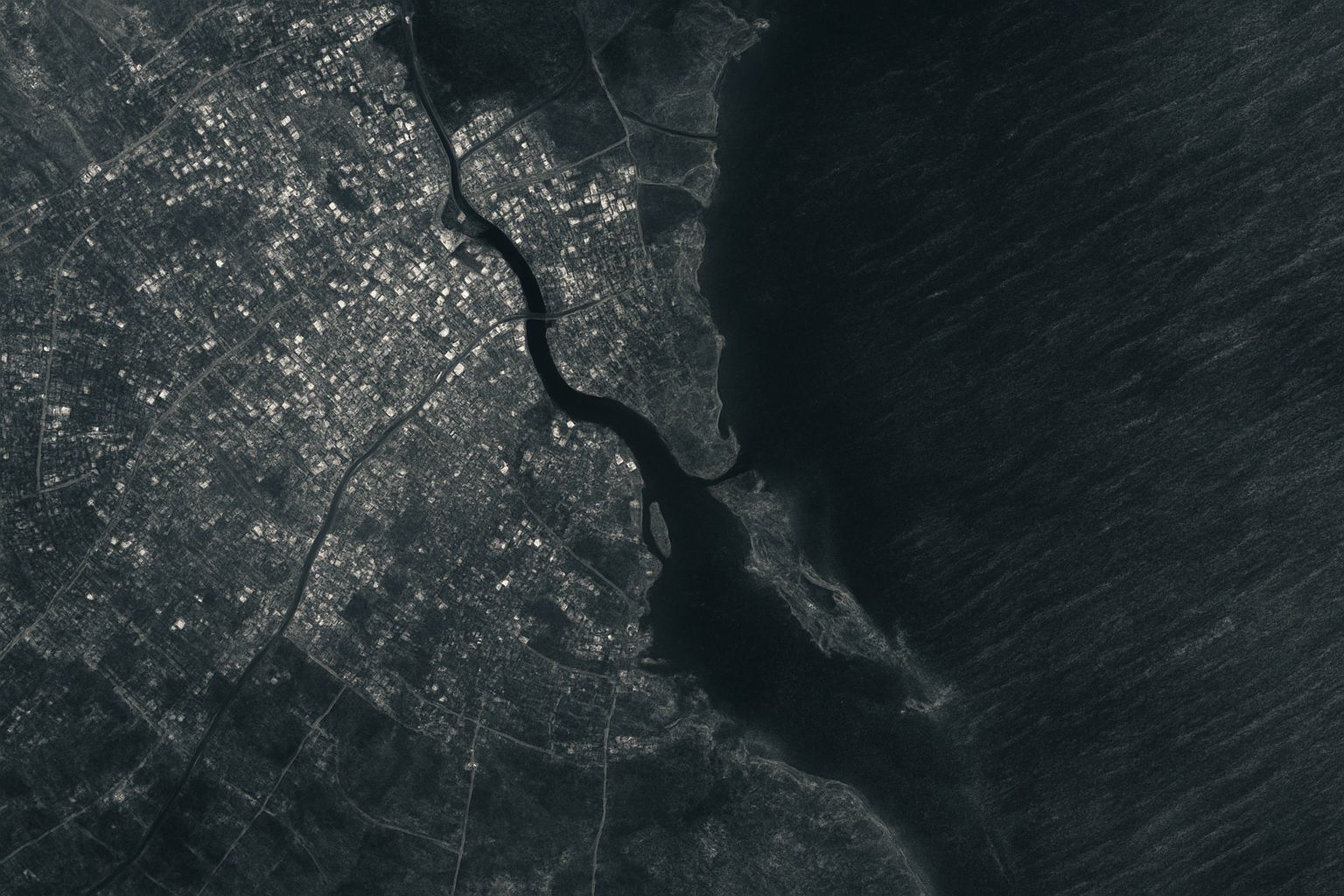
Radar Vision Boom: Why High‑Res SAR Imaging is Skyrocketing Toward 2030

Radar Vision Boom: Why High‑Res SAR Imaging is Skyrocketing Toward 2030

The global high-resolution SAR imaging market was about $5.4 billion in 2024 and is forecast to reach about $11.6 billion by 2030, a CAGR of roughly 13%. Capella Space had around 10–15 satellites in 2024 delivering 0.5 m and 0.25 m resolution imagery, while ICEYE operates the world’s largest SAR constellation with 20+ satellites. Recent commercial SAR missions have achieved sub-meter resolution, with Umbra reporting ~25 cm imagery and Capella demonstrating ~30 cm and 25 cm-class products. NASA-ISRO’s NISAR mission will carry both an L-band and an S-band radar on the same satellite. North America accounted for about 33.8% of
Sky Scanners: How SAR Imaging Satellites Are Redefining Earth Observation

Sky Scanners: How SAR Imaging Satellites Are Redefining Earth Observation

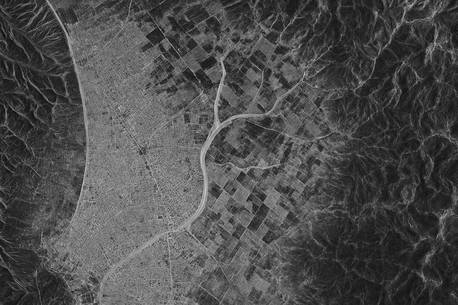
About 75% of the planet is obscured by cloud cover or darkness at any moment, making optical imaging inaccessible. Synthetic Aperture Radar (SAR) satellites actively illuminate the ground with microwave radar and synthesize a large aperture by moving the antenna to produce high-resolution images. SAR can operate day or night and in all weather, providing 24/7 imaging. Sentinel-1 (ESA) comprises satellites Sentinel-1A launched in 2014 and Sentinel-1B in 2016, with C-band SAR offering ~5 m resolution in high-resolution modes and 250–400 km swaths, and a 12-day revisit. RADARSAT-2 (Canada) launched in 2007, followed by the RADARSAT Constellation Mission (RCM) in
Go toTop