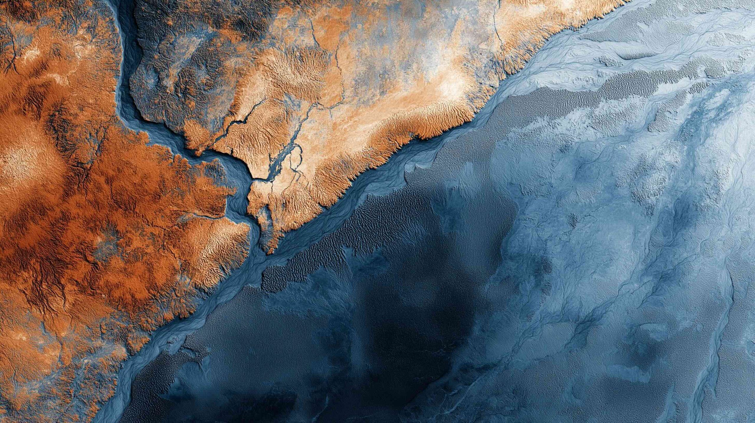
Exploring the World from Above: Top Satellite Mapping Services for Web & Mobile in 2025
Google Earth offers imagery from global 15 m resolution down to sub-meter detail (30–50 cm) in many urban areas, plus 3D buildings and terrain across hundreds of cities, accessible on web, iOS/Android, and Google Earth Pro desktop. Imagery updates on