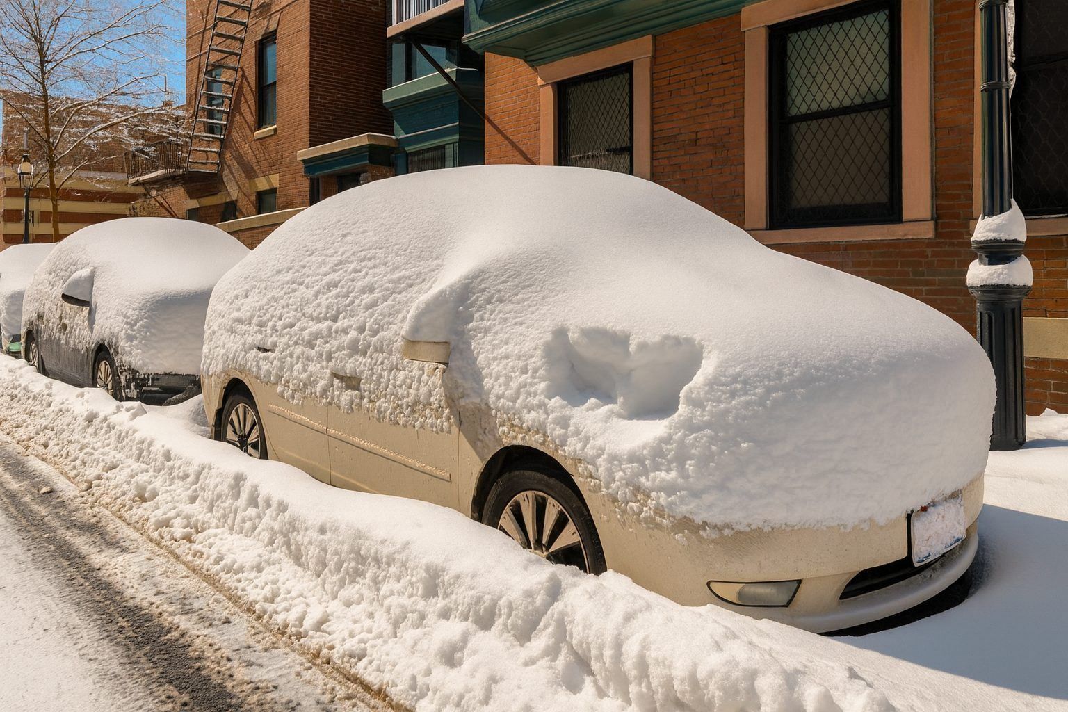
A quick-hitting winter system is delivering a broad swath of snow from the Midwest into the Appalachians and the I-95 corridor, while lake-effect bands continue to pile up snow downwind of the Great Lakes. At the same time, an arctic air mass is pushing dangerous cold and biting wind chills into much of the East—helping snow stick and making even modest accumulations more disruptive on untreated roads. National Weather Service+1
Below is a detailed look at where snow is expected today, how much is likely, and which pockets could see the biggest totals before the pattern shifts again.
Snow today at a glance: where accumulation is most likely
Most widespread “plowable” snow today: parts of the Mid-Atlantic into the Northeast (including major I-95 cities), especially during the morning and midday hours. Weather Prediction Center+1
Highest totals today: persistent lake-effect snow belts near and east/southeast of the Great Lakes—where narrow bands can rapidly stack up inches per hour. Weather Prediction Center+2National Weathe…
Biggest wildcard: banding (both synoptic and lake effect). A shift of 10–20 miles can mean the difference between a light coating and several additional inches. National Weather Service+1
Midwest into the Ohio Valley: snow winds down in some areas, but totals still add up
Today’s national setup features cold air pressing east while snow expands and/or wraps up in different regions. The National Weather Service highlights accumulating snow from the Midwest into the Central Appalachians, with the snow shield extending into the Mid-Atlantic as the system progresses. National Weather Service+1
In central Ohio, local reporting indicates most areas were expected to accumulate about 3–5 inches, with localized totals up to around 7 inches south of I-70, and 1–3 inches to the north. WLUK
Even where the steadiest snow is tapering, the combination of wind and arctic air matters: drifting, refreezing, and slick secondary roads can persist well after snowfall rates drop.
Western Pennsylvania, eastern Ohio, and northern West Virginia: lake-effect focus returns
As the broader storm pulls away, attention shifts to localized snow bands, especially north of Pittsburgh and into lake-effect corridors. The National Weather Service briefing for the Pittsburgh region emphasizes that widespread heavy snow had ended, but banding could still produce localized additional heavy snow, depending on where bands set up. National Weather Service+1
For the Mercer/Venango area, the same briefing highlights a lake-effect snow warning scenario where narrow bands near I‑80 may drive localized high totals, with total snowfall around 6–8 inches in the hardest-hit band locations. National Weather Service+1
Mid-Atlantic snow totals: Philadelphia–NJ–Delmarva corridor has the best shot at higher totals
For parts of Pennsylvania, New Jersey, Delaware, and nearby areas covered by the NWS Philadelphia/Mount Holly office, the forecast calls for widespread storm totals of 1–5 inches, with a zone of 5+ inches possible near and just southeast of I‑95 into southern New Jersey and northern Delmarva. Snowfall rates near 1 inch per hour are possible in that higher-total corridor. National Weather Service+2National Weather…
The same NWS briefing map also depicts 4–6 inches around parts of the core metro corridor (including the Philadelphia area), reinforcing that the “higher stripe” may clip major population centers depending on band placement. National Weather Service
Inside Philadelphia County, the official point forecast calls for snow during the morning with 1–3 inches and gusts up to around 35 mph, a combination that can reduce visibility and keep some roads snow-covered even as crews treat major routes. National Weather Service+1
Washington, D.C., Maryland, and Northern Virginia: quick burst, then bitter cold
In the D.C. region, the event is more of a short-duration burst—but timing and temperature changes can still create travel headaches, particularly early Sunday.
Forecast coverage for the metro area indicated 1–2 inches inside the Beltway, with 2–4 inches possible from Annapolis to Baltimore, while areas farther south and west were expected to see less. The Washington Post
By Sunday morning, live updates from Washington Post weather coverage reported that snow was tapering, with lower-than-forecast totals in many spots (dusting to about an inch) but higher pockets north of the city (including reports around 4 inches in parts of the northern suburbs). The Washington Post
The bigger story after the flakes: plunging temperatures and gusty winds can quickly turn slush into ice and keep sidewalks and neighborhood streets hazardous through the day.
New York City and the Tri-State: widespread advisory-level snow, heaviest toward Long Island
For the New York metro region, the National Weather Service forecast discussion from the New York office calls for:
- 2–4 inches across much of the interior
- 3–5 inches for the NYC/NJ metro and coast
- 4–6 inches for eastern Long Island
- Locally higher amounts where heavier bands persist National Weather Service
At the city point-forecast level (Manhattan area), the NWS forecast indicates snow mainly before mid-morning with 1–2 inches of daytime accumulation possible, emphasizing that a chunk of the total can fall overnight into the early morning window. National Weather Service+1
This is a classic setup where commute timing matters: heavier bands in the pre-dawn to mid-morning hours can outpace treatment on secondary roads, even if totals end up on the “moderate” side.
Southern New England: snow totals rise toward the coast, with Cape Cod among the higher totals
Snow is also impacting southern New England today, with totals varying significantly from inland towns to the immediate shoreline.
Connecticut: Regional reporting indicates 2–4 inches statewide, with up to 5 inches in some coastal locations as the system passes and colder air deepens. CT Insider+1
Boston area: The NWS Boston/Norton forecast discussion notes light snow and indicates total snow accumulations around 1–3 inches at/near KBOS (Boston Logan), with lower totals farther inland in some directions. National Weather Service
Rhode Island (Providence area): The NWS zone forecast for Southeast Providence calls for 2–4 inches today. National Weather Service
Cape Cod / Barnstable County: The NWS zone forecast shows 3–5 inches, reflecting the typical tendency for coastal/outer-Cape locations to land closer to the higher end in fast-moving coastal setups. National Weather Service
Great Lakes lake-effect: where the biggest totals are still possible today
While the “main” storm snow is wrapping up along parts of the coast, lake-effect snow is ramping up in the wake of the system. The Weather Prediction Center notes that cold northwest flow over the Great Lakes will generate moderate to heavy snowfall downwind through Monday evening, with 6–12 inches possible in portions of the Lower Great Lakes by early Tuesday (and isolated higher amounts). Weather Prediction Center
Here are two of the most notable lake-effect zones today:
Northeast Ohio and Northwest Pennsylvania
The National Weather Service Cleveland briefing calls for an additional 3–6 inches, with 7–8 inches possible where bands persist, alongside snowfall rates up to about 1 inch per hour and gusts that can create blowing and drifting snow. National Weather Service+1
Upstate New York: Oswego County stands out
A lake-effect snow warning for Oswego County cites additional accumulations of 10–16 inches in the most persistent lake snows, with snowfall rates potentially reaching 3–4 inches per hour in the strongest bands (especially this morning). National Weather Service
Those rates are the reason lake-effect storms can shift from “manageable” to “dangerous” very quickly—particularly on highways that cross band corridors.
Why today’s snow can be more disruptive than the numbers suggest
Even when totals are “only” a few inches, several factors are stacking the deck for impacts today:
- Arctic air and wind chills: The WPC highlights frigid air spreading into the East today, supporting rapid cooling and keeping surfaces frozen. Weather Prediction Center
- Gusty winds: Wind can blow snow back onto treated roads and reduce visibility in bursts, especially near lakeshores and in open terrain. National Weather Service+1
- Banding: Narrow snow bands can drop multiple inches quickly over a small area, producing sharp differences in totals over short distances. National Weather Service+1
What to do next: the smart way to track snowfall today
If you’re trying to plan travel or gauge snow totals where you live, the most reliable approach today is:
- Check your local NWS forecast (point forecast + any winter weather advisories/warnings).
- Watch radar trends for banding—especially near the Great Lakes and along coastal areas.
- Plan for conditions after snow ends: falling temperatures can refreeze wet pavement and sidewalks late today and tonight. Weather Prediction Center+1
Bottom line
For Sunday, December 14, 2025, most of the U.S. snowfall focus is on a fast-moving Mid-Atlantic/Northeast snow (generally a few inches in many metros) plus higher-impact lake-effect snow capable of producing double-digit totals in the most persistent bands—especially downwind of the Great Lakes. Weather Prediction Center+2National Weathe…


