Browse Tag

high-resolution

Radar Vision Boom: Why High‑Res SAR Imaging is Skyrocketing Toward 2030

Radar Vision Boom: Why High‑Res SAR Imaging is Skyrocketing Toward 2030

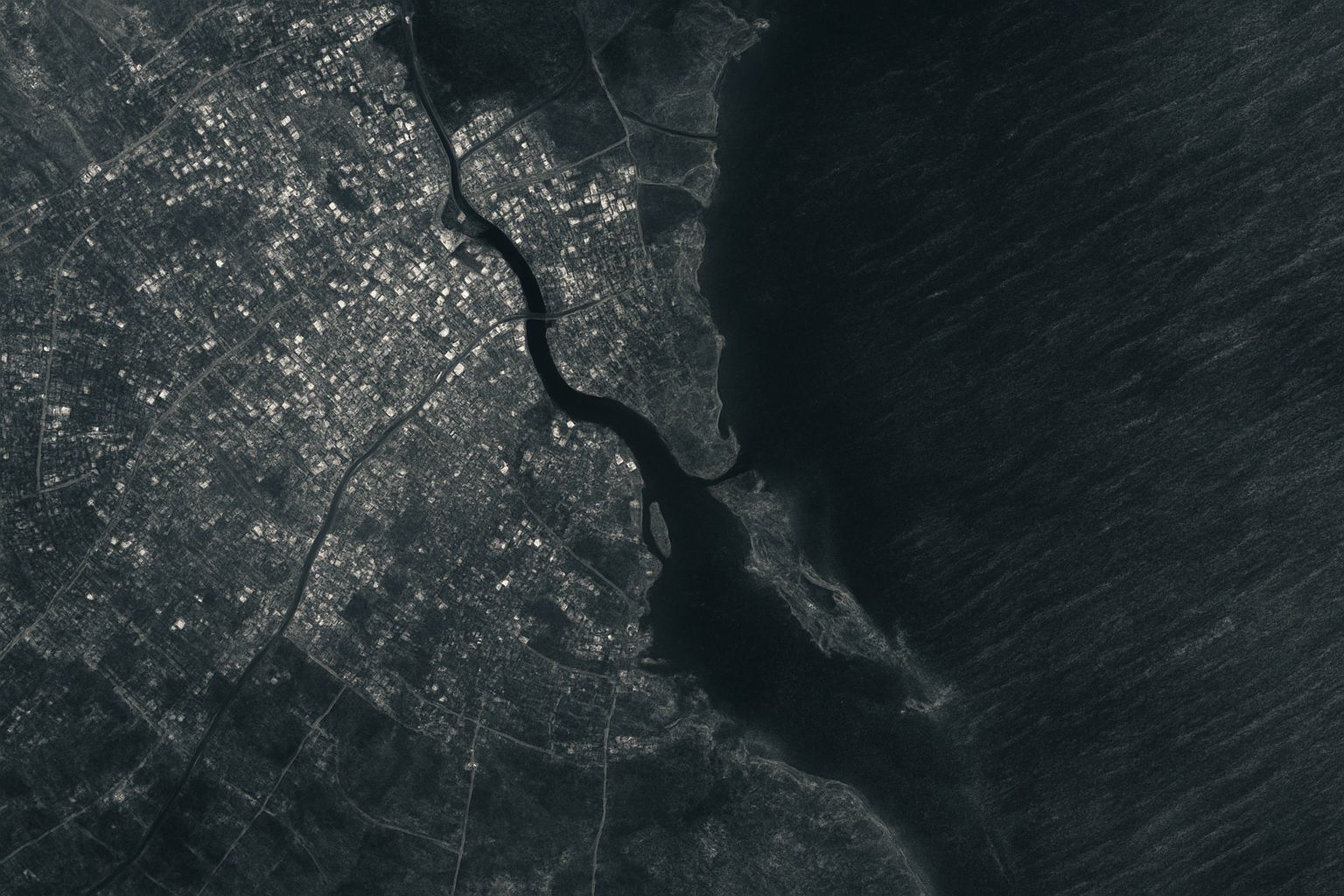
The global high-resolution SAR imaging market was about $5.4 billion in 2024 and is forecast to reach about $11.6 billion by 2030, a CAGR of roughly 13%. Capella Space had around 10–15 satellites in 2024 delivering 0.5 m and 0.25 m resolution imagery, while ICEYE operates the world’s largest SAR constellation with 20+ satellites. Recent commercial SAR missions have achieved sub-meter resolution, with Umbra reporting ~25 cm imagery and Capella demonstrating ~30 cm and 25 cm-class products. NASA-ISRO’s NISAR mission will carry both an L-band and an S-band radar on the same satellite. North America accounted for about 33.8% of
Mind‑Blowing Satellite Images Reveal Fordow’s Cavernous Crater: Inside the High‑Resolution Photo Forensics that Exposed the Collapse of Iran’s Underground Nuclear Fortress

Mind‑Blowing Satellite Images Reveal Fordow’s Cavernous Crater: Inside the High‑Resolution Photo Forensics that Exposed the Collapse of Iran’s Underground Nuclear Fortress

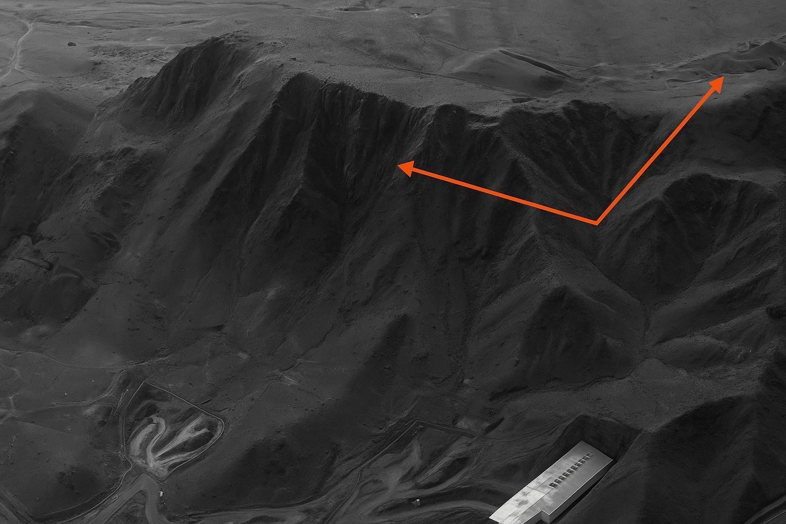
On 22 June at 10:22 UTC, Maxar released 0.5-meter imagery showing three circular Fordow blast scars about 25 meters across at the portal area. Planet Labs’ SkySat captured higher-cadence shots showing eastward dust clouds and bulldozers arriving by noon local time. Five classic penetrator indicators are visible in Fordow imagery: entry craters, radial debris ejection, thermal scarring, rock-face fracturing, and surface subsidence, including uphill fissures and an 8-meter cavity collapse. The Fordow centrifuge galleries are estimated at 80–100 meters deep, leaving uncertainty about complete destruction. Fordow produced 166 kilograms of 60 percent enriched uranium-235 in the last quarter, nearly enough
Go toTop