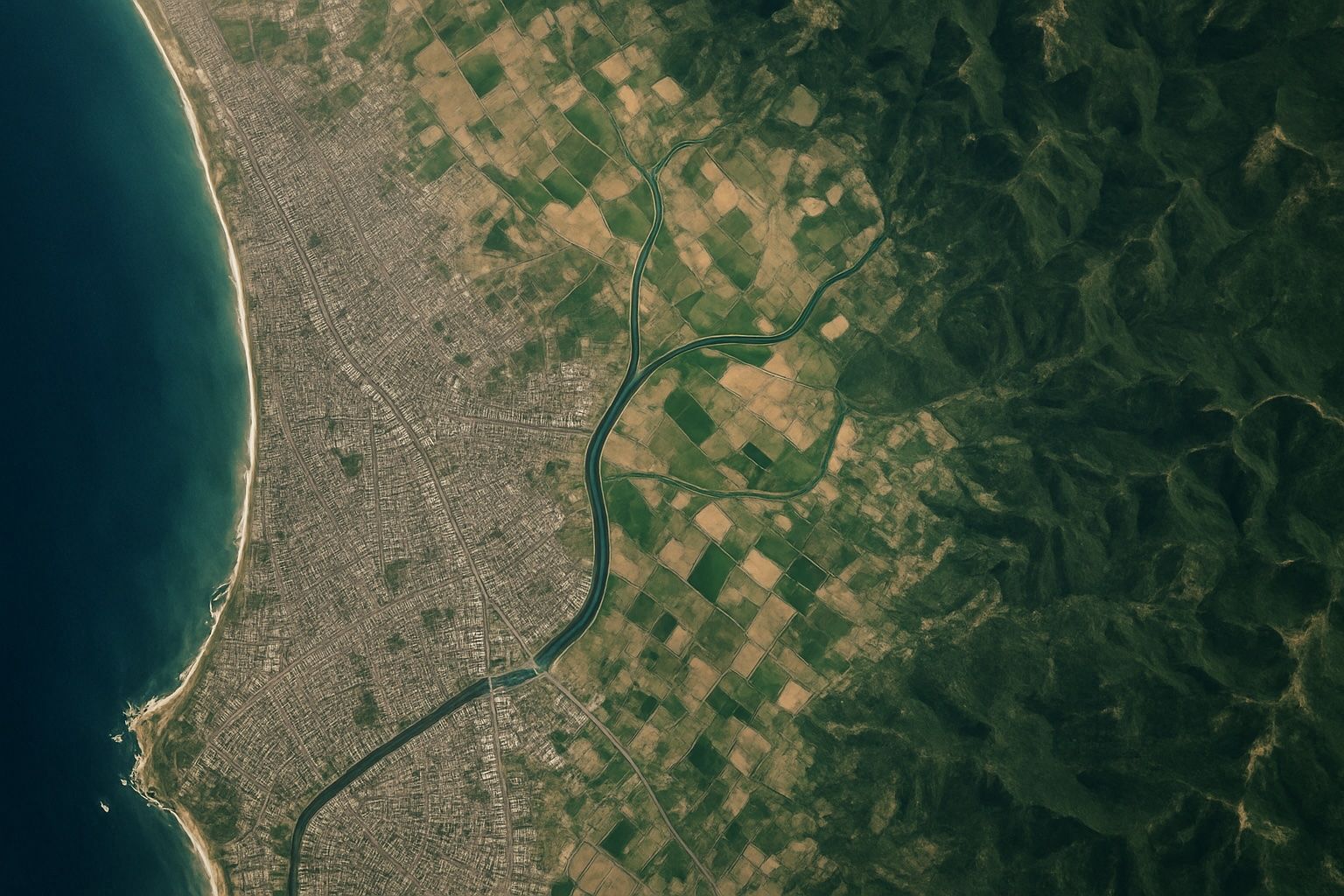
Satellite Imagery: Principles, Applications, and Future Trends
The first space images were captured in 1946 from a sub-orbital U.S. V-2 rocket at about 105 km altitude. The first actual satellite photograph of Earth was taken on August 14, 1959 by the U.S. Explorer 6 satellite. In 1960, TIROS-1 transmitted the first television image of Earth from orbit, a milestone for weather observation. Landsat 1, launched in 1972, began the longest-running civilian Earth-observation program with a 50-year archive, and Landsat 9 was launched in 2021 to continue it. The KH-11 KENNEN program began near-real-time digital imaging in 1977, eliminating the need for film return. IKONOS, launched in 1999,