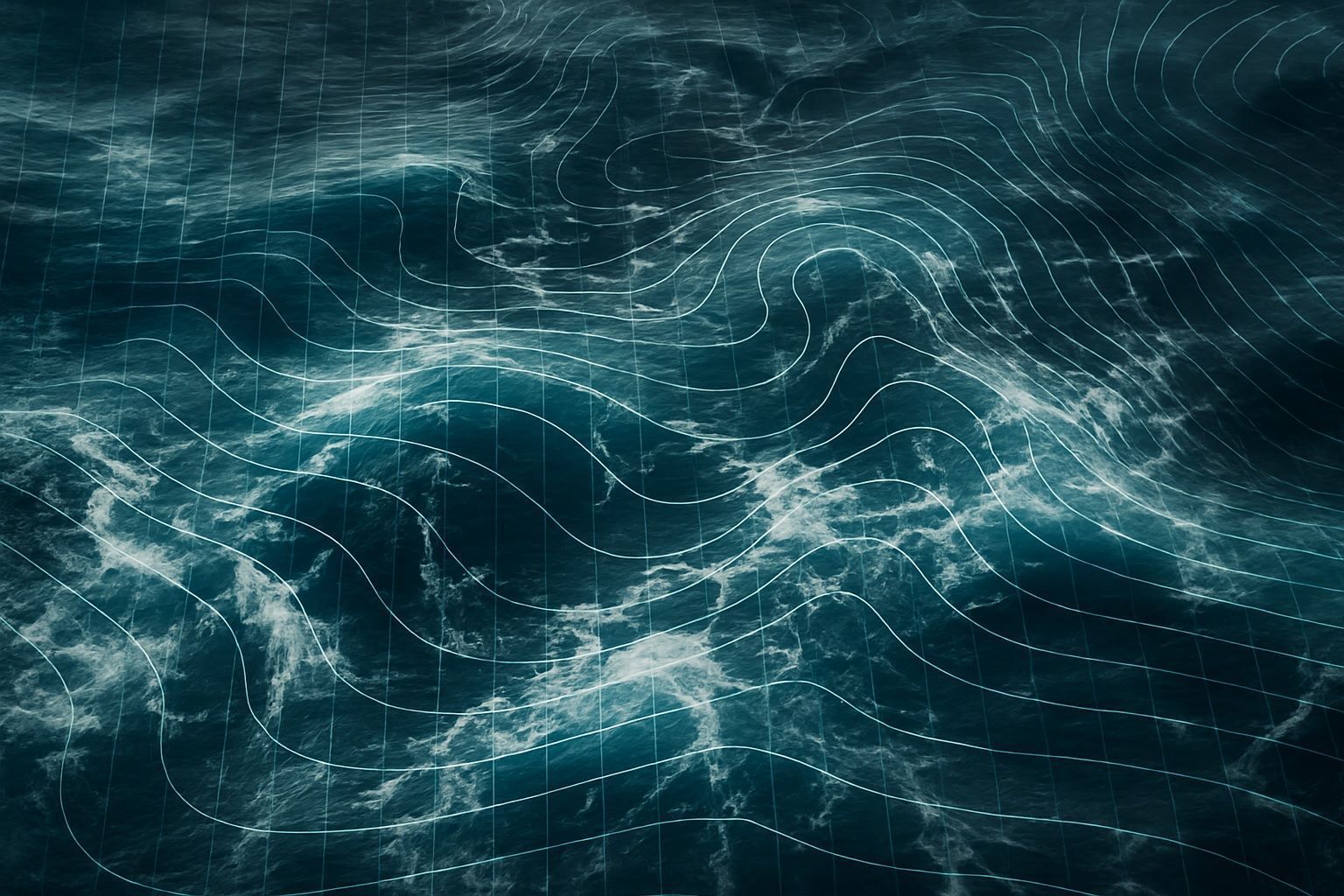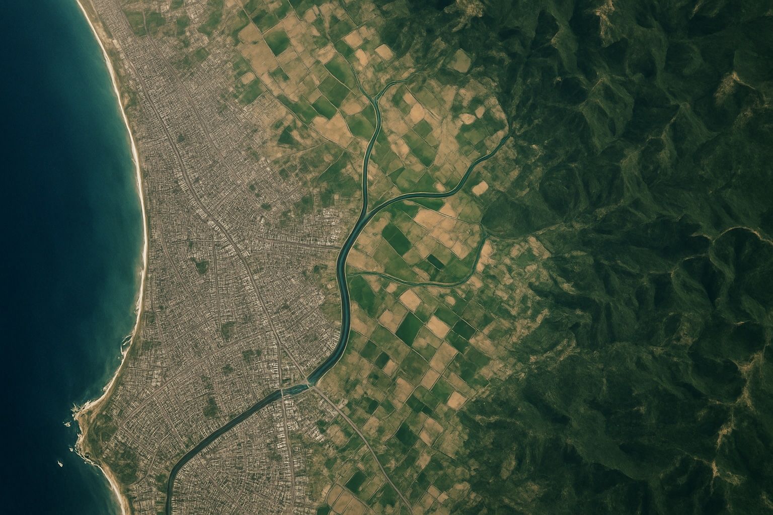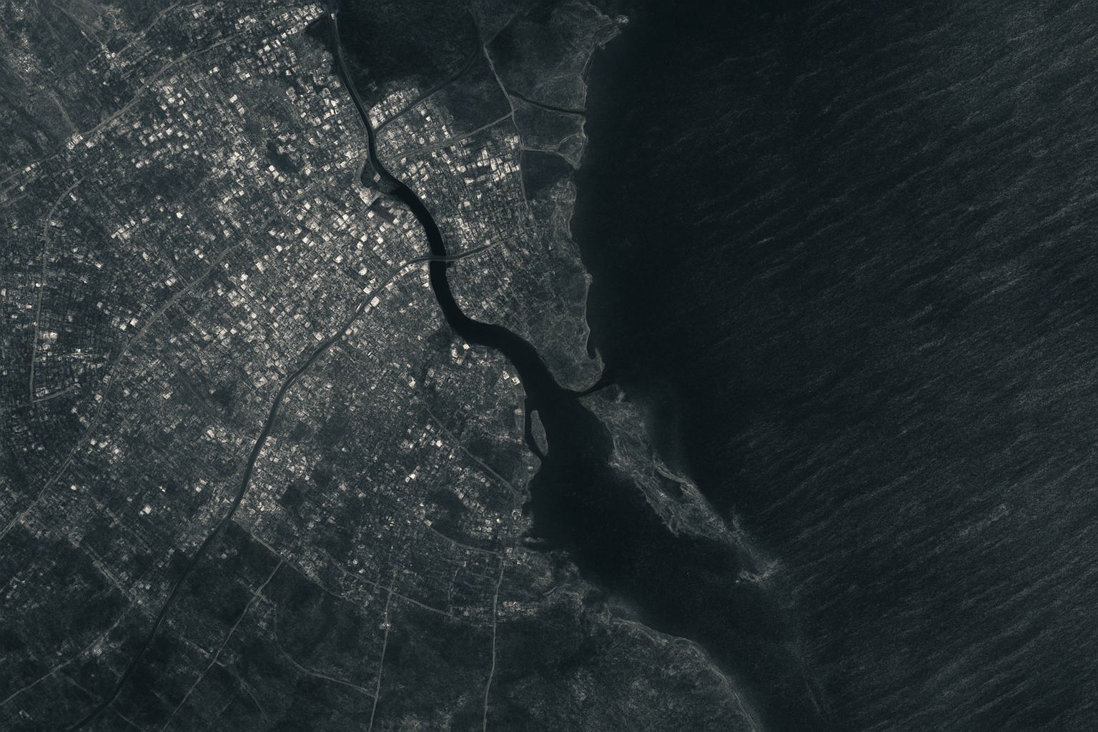
Remote Sensing refers to the acquisition of information about an object or area from a distance, typically using satellite or aerial imaging technologies. It involves the collection of data through sensors that detect and measure electromagnetic radiation reflected or emitted from the Earth’s surface. This technique is widely used in various fields, including environmental monitoring, agriculture, forestry, land use planning, and climate research. Remote Sensing allows for the analysis of large and often inaccessible areas, providing valuable insights into changes in the environment, land cover, and natural resources over time. The data collected can be used for mapping, assessing conditions, and predicting future trends by interpreting the information derived from the captured images.