Browse Category

Natural Disasters News 19 June 2025 - 6 October 2025

Mount Everest Snowstorm Crisis: Rare Himalayan Blizzard Traps Hundreds of Trekkers and Exposes Deepening Climate and Tourism Fault Lines

Mount Everest Snowstorm Crisis: Rare Himalayan Blizzard Traps Hundreds of Trekkers and Exposes Deepening Climate and Tourism Fault Lines

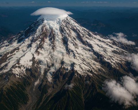
A Rare Storm Triggers a Mount Everest Crisis The sudden blizzard The first week of October is normally considered a safe window to visit Tibet’s Karma Valley on the northern slopes of Mount Everest. The monsoon rains typically retreat, leaving crisp skies and manageable snow cover. But in 2025 the weather defied expectations. A low‑pressure system lingering over the Bay of Bengal channelled moist air into the Himalayas foxweather.com. When the warm, humid air hit cold Himalayan air masses at around 4,000 m, a convective snowstorm formed over the Everest region. Snow began falling on Friday and intensified over the weekend, blanketing
After Hurricane Helene: Massive USDA Grants, Shocking Damage Statistics and the Long Road to Recovery – What It Means for Farmers

After Hurricane Helene: Massive USDA Grants, Shocking Damage Statistics and the Long Road to Recovery – What It Means for Farmers

Hurricane Helene: A Record‑Setting Storm Hurricane Helene developed in late September 2024 and rapidly intensified over the Gulf of Mexico before making landfall near Florida’s Big Bend on Oct. 10. With 140‑mph winds, it was the first Category‑4 hurricane to hit that region since record‑keeping began in 1851 farmpolicynews.illinois.edu. The storm maintained hurricane strength across Georgia and the Carolinas, dropping more than 30 inches of rain in some areas and causing catastrophic freshwater flooding. According to the National Hurricane Center (NHC), Helene caused at least 176 direct deaths and 71 indirect deaths; most fatalities were caused by winds or freshwater flooding nhc.noaa.gov. Georgia recorded 37
Category 4 Hurricane Erin Churns Off East Coast – Live Tracking, Forecast Path & Expert Warnings

Two Hurricanes Locked in a Rare ‘Fujiwhara’ Dance: Will Imelda Strike or Spiral Away?

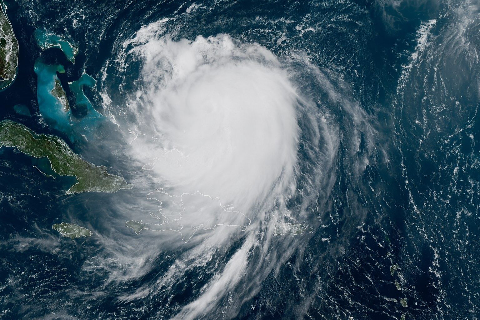
Tropical Depression Nine (Imelda) – A Southeast Threat A tropical disturbance over Cuba and the Bahamas organized into Tropical Depression Nine on Sept. 27. By late Sunday it should become Tropical Storm Imelda 6abc.com. At 8 a.m. ET Sunday it was centered about 285 miles north-west of eastern Cuba and 100 miles WSW of the central Bahamas, moving NNW at 7 mph with 35 mph winds 6abc.com. The National Hurricane Center expects gradual strengthening: Imelda should track north through the Bahamas and then parallel the Florida coast over the weekend abcnews.go.com accuweather.com. A tropical storm watch is already in effect along the
28 September 2025
Earthquake Frenzy TODAY: Caribbean Shocker, Pacific Powerhouse & Surprise U.S. Tremor—See Where the Ground Is Shaking Right Now

Earthquake Frenzy TODAY: Caribbean Shocker, Pacific Powerhouse & Surprise U.S. Tremor—See Where the Ground Is Shaking Right Now

A M5.7–5.8 earthquake struck about 77 km NNE of Punta Cana, Dominican Republic, at 02:45 UTC on 24 June 2025, depth 68 km, felt in Puerto Rico with no tsunami. A M6.3–6.5 quake east of the Philippine Islands occurred at 01:58 UTC, depth 10 km at 7.97°N, 129.83°E, with tremors felt in Bangkok and Mandalay and no tsunami. A M2.7 earthquake near Burbank in Los Angeles at 19:22 UTC, depth 8 km, described as a wake-up quake with no damage. A deep-focus M4.4 quake struck the Atacama Desert, Chile, at 07:42 UTC, depth 179 km, typically producing limited surface shaking.
24 June 2025
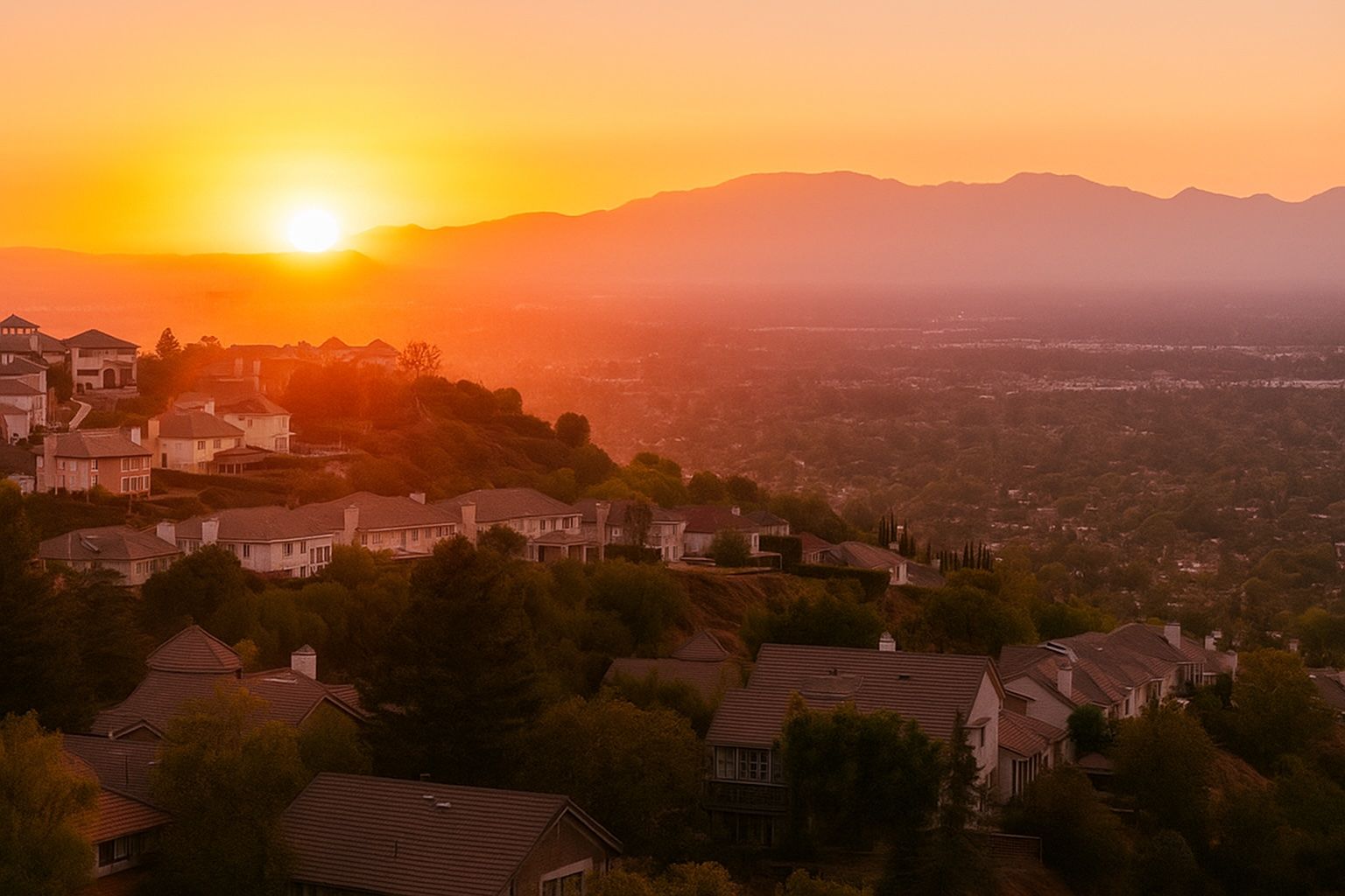
You Won’t Believe Why the San Fernando Valley Just Shook: Inside the 2.7‑Magnitude Sherman Oaks Quake—and What It Really Tells Us About L.A.’s Seismic Future

You Won’t Believe Why the San Fernando Valley Just Shook: Inside the 2.7‑Magnitude Sherman Oaks Quake—and What It Really Tells Us About L.A.’s Seismic Future

A shallow Ml 2.7 earthquake struck at 12:22 p.m. PDT on June 24, 2025, about 2 km northeast of Sherman Oaks, with a focal depth of ~5 km. Shaking was light (MMI IV), and the USGS Did You Feel It? page logged about 12 responses within the first 13 minutes. No injuries or structural damage were reported by local agencies as of press time. ShakeAlert did not issue an early warning because the ground motion remained below activation thresholds. The event occurred about 3 km SSE of Van Nuys, according to SCEDC data. Dr. Lucy Jones described small quakes as
24 June 2025
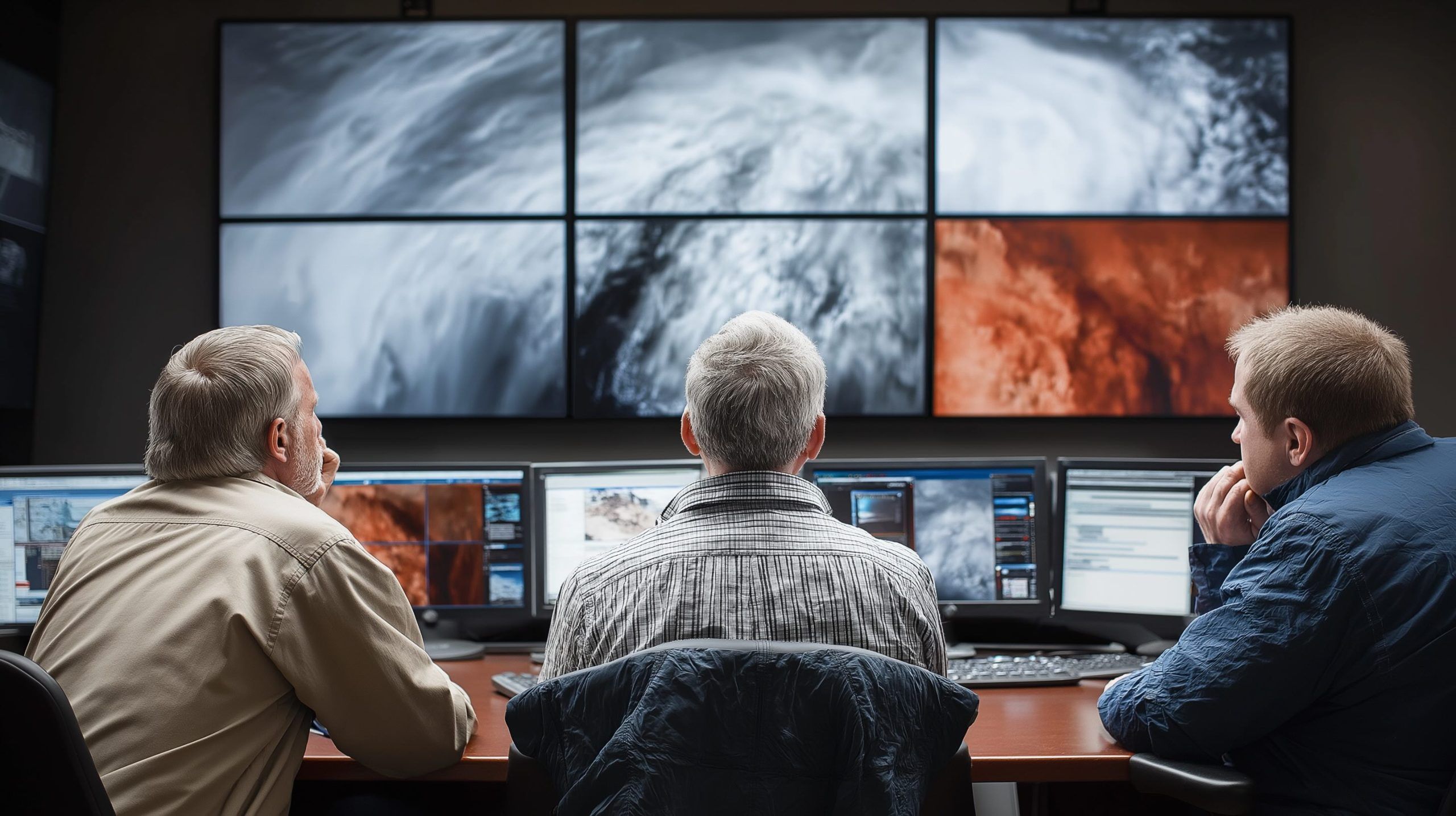
Sky Spies: The Ultimate Guide to Weather Satellites Tracking Storms, Saving Lives, and Monitoring Climate

Sky Spies: The Ultimate Guide to Weather Satellites Tracking Storms, Saving Lives, and Monitoring Climate

TIROS-1, launched by NASA on April 1, 1960, weighed about 120 kg and transmitted over 19,000 cloud images in 78 days, proving the concept of space-based weather observation. GOES-16 (GOES-East), launched in 2016 as part of the GOES-R series, delivers 0.5 km resolution imagery across 16 spectral bands and can scan as often as 30 seconds, and it carries the Geostationary Lightning Mapper. Meteosat-1, launched in 1977, was Europe’s first geostationary meteorological satellite at 0° longitude and introduced a water vapor channel for moisture tracking. Japan’s Himawari-8 (2014) and Himawari-9 (2016) operate at 140°E, providing high-resolution full-disk imagery every 10
19 June 2025
Go toTop