LOS ANGELES, January 9, 2026, 03:45 (PST)
- High wind warnings and wind advisories were posted across Southern California into the weekend
- Forecasters flagged downed trees and scattered power outages as the main threat after recent rain
- Some inland valleys also faced freeze and surf hazards as offshore winds bring a warming trend
High wind warnings and wind advisories were in force across parts of Southern California early Friday as a Santa Ana wind event intensified, with gusts up to 70 mph expected in some mountain and foothill areas, the National Weather Service said. https://www.weather.gov/wwamap/wwatxtget.p…
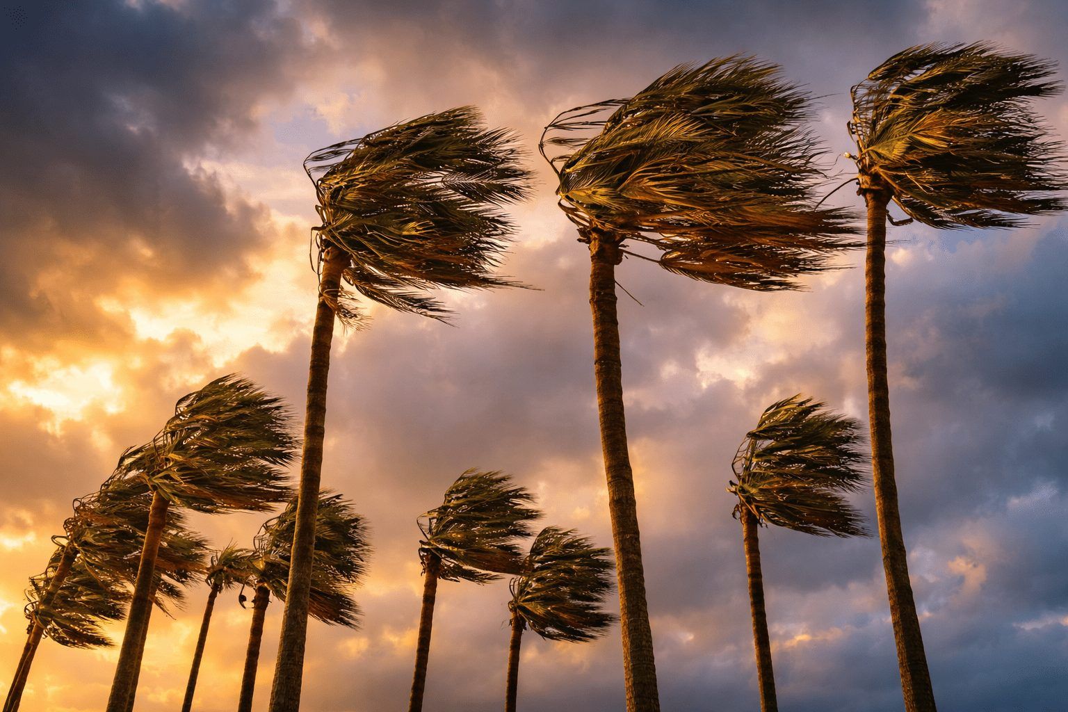
The offshore winds — dry air pushed from inland toward the coast — can knock down trees, snap power lines and make driving risky in canyons and passes. Forecasters said wet ground from recent rain could make damage more likely, even as the rain tamped down wildfire concerns.
The wind event is forecast to peak Friday into Saturday, with conditions staying active through at least Sunday in some corridors. That puts it across commute routes and open freeways where crosswinds can shove high-profile vehicles.
CBS Los Angeles chief meteorologist Paul Deanno said wind would be “the big issue of the day,” with advisories covering parts of metro Los Angeles, Orange County, eastern Ventura County and the Inland Empire. “We warm up for the weekend, with less wind and more sunshine for the first time this year,” Deanno said, adding that the National Weather Service did not expect elevated fire danger because of the recent rains. https://www.cbsnews.com/losangeles/news/wi…
In the Inland Empire, an early Friday advisory from the weather service office in San Diego said north winds of 15 to 25 mph could gust to 35 to 45 mph, with local gusts to 55 mph “directly below the Cajon Pass.” “Winds this strong can make driving difficult, especially for high profile vehicles,” the agency said, citing Interstate 10 and highways 210 and 66 as trouble spots. https://forecast.weather.gov/product.php?f…
Along the Central Coast, forecaster Evan Vega at News Channel 3-12 wrote that Thursday’s winds would shift east Friday, “producing Santa Ana Winds through at least Sunday.” He said a freeze warning would last until 9 a.m. Friday for the Santa Ynez, Ojai and Cuyama valleys, and that high surf of 10 to 15 feet north of Point Conception would continue through Friday night. https://keyt.com/weather/2026/01/08/santa-…
Santa Ana winds usually set up when higher pressure inland forces air toward the coast; as it drops in elevation it warms and dries out. That can sharpen gusts through gaps like Cajon Pass and along foothill neighborhoods, while lifting daytime temperatures.
But forecasts for wind corridors can swing fast, and stronger gusts could reach deeper into populated foothills than expected. The weather service warned that wet soils could increase the odds of fallen trees, bringing short-notice road closures and power outages, even if the fire threat stays muted.


