Browse Tag

home view

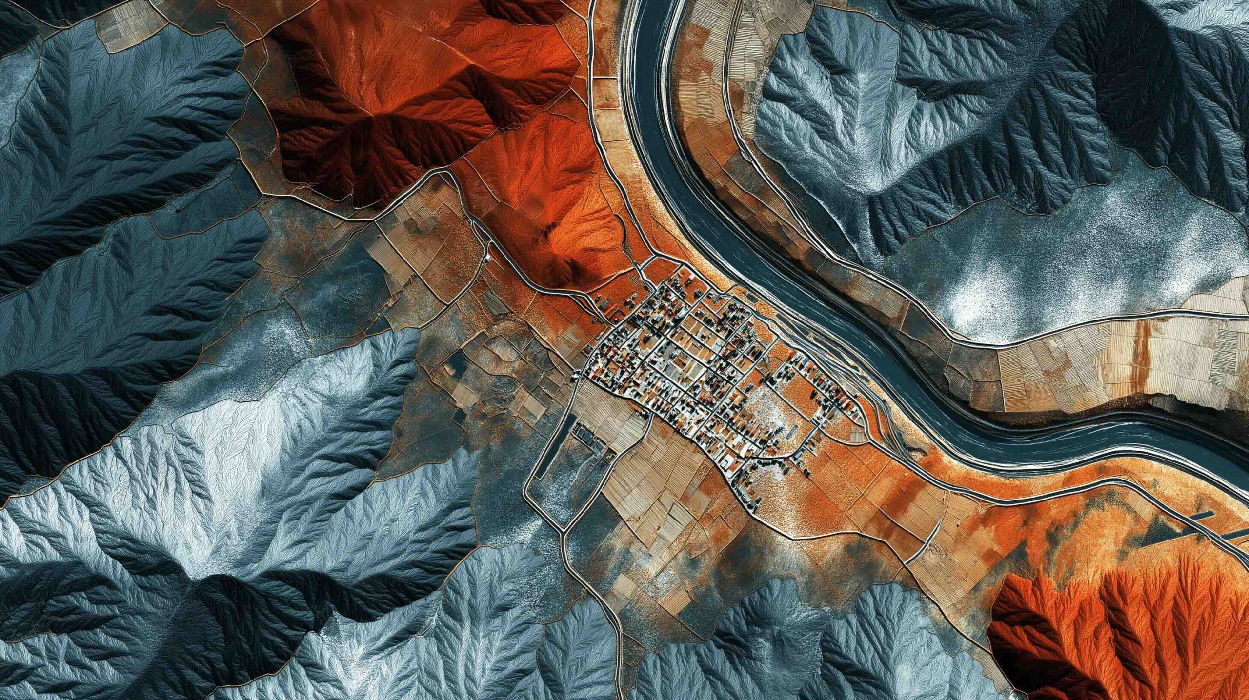
See Your House from Space? Inside the World of Live Satellite Maps and Weather from Orbit

See Your House from Space? Inside the World of Live Satellite Maps and Weather from Orbit

Google Earth was downloaded over one billion times in its first six years. Google Earth’s Time Machine covers 1984 to 2022 in a 4D interactive map built from millions of satellite photos. The Landsat program began in 1972 and offers a 50+ year global land-surface data record, with Landsat 8 and 9 providing 30-meter resolution imagery. Sentinel-2A and 2B image the entire Earth’s land every 5 days at 10-meter resolution (20 meters for some infrared bands). Maxar’s WorldView-3 and WorldView-4 offer 30-centimeter imagery, and the upcoming WorldView Legion aims for up to 15 revisits per day at 30 cm. Planet
28 July 2025
 ·  ·  ·  · 
Go toTop