Browse Tag

Satellite Photos

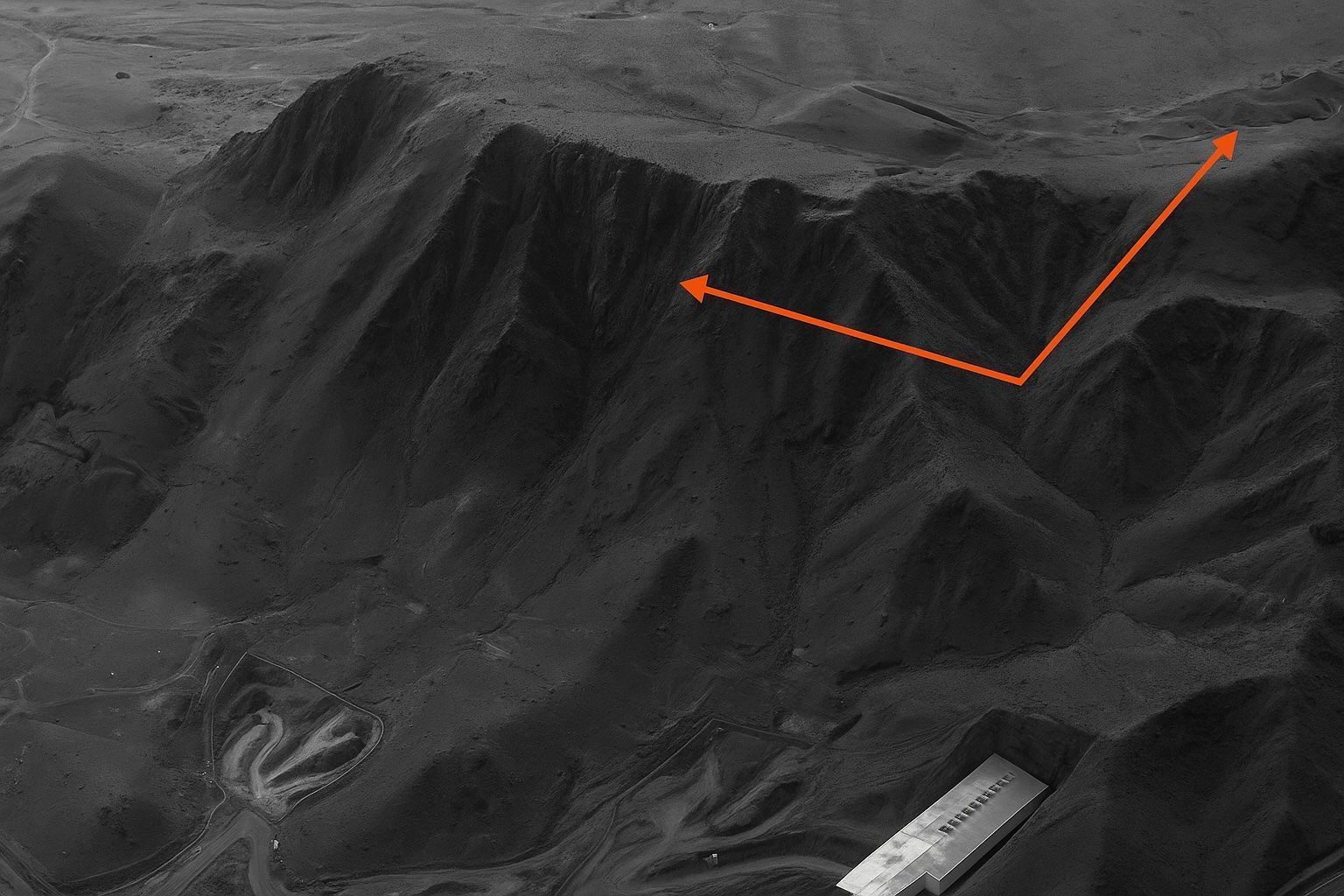
Mind‑Blowing Satellite Images Reveal Fordow’s Cavernous Crater: Inside the High‑Resolution Photo Forensics that Exposed the Collapse of Iran’s Underground Nuclear Fortress

Shock From Space: Commercial Satellite Photos Reveal How U.S. Bunker‑Busters Crushed Iran’s Fordow Nuclear Mountain

On 22 June at 02:14 a.m. local time, B-2 bombers released at least a dozen 30,000-lb GBU-57 Massive Ordnance Penetrator bombs targeting Fordow, Natanz and Isfahan. By noon on 22 June, Planet Labs Skysat imagery showed a pale-grey haze over
Jaw‑Dropping Satellite Photos Expose Israel’s Covert Blows to Iran—What the Images Reveal, Why the Targets Mattered, and What Comes Next

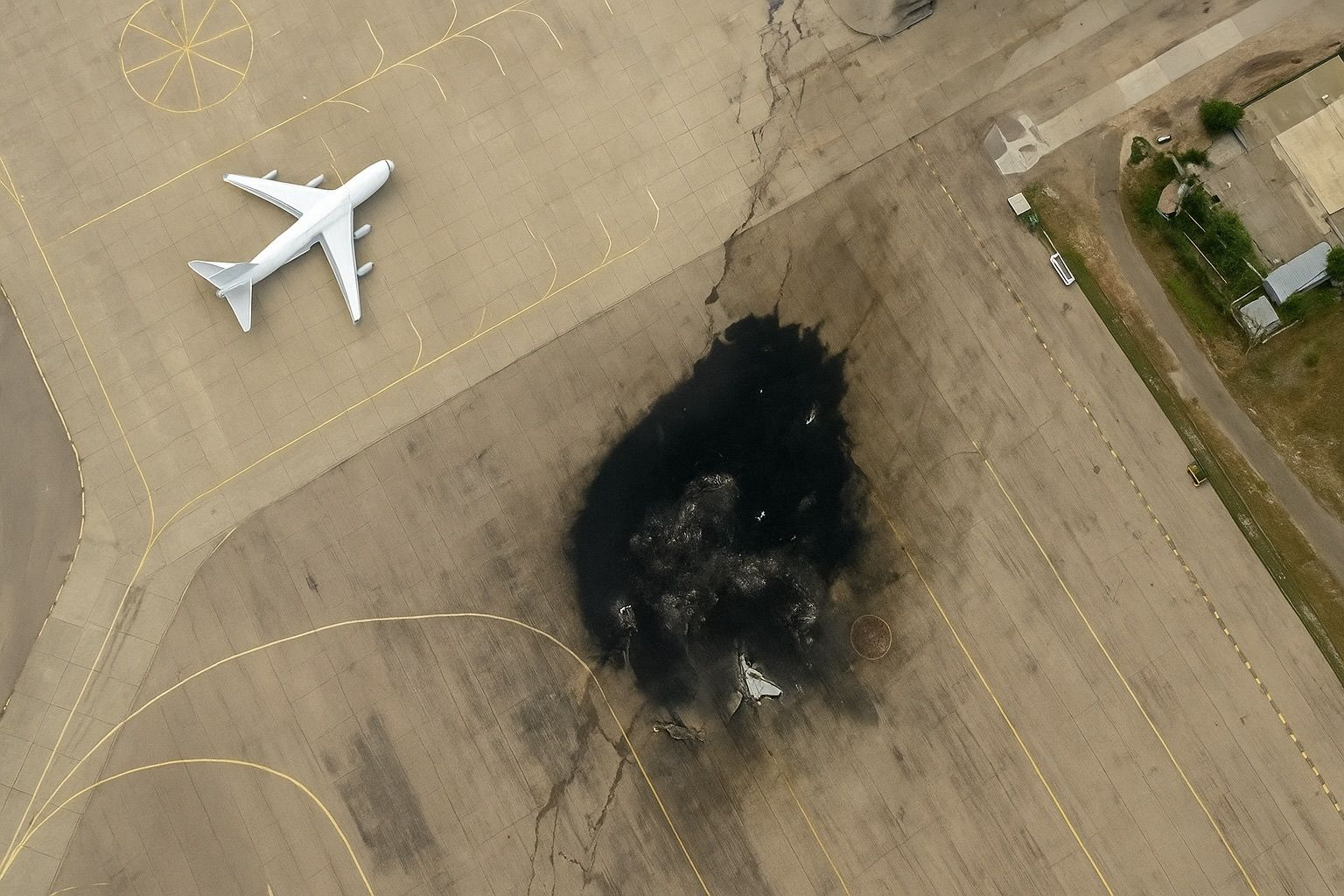
Jaw‑Dropping Satellite Photos Expose Israel’s Covert Blows to Iran—What the Images Reveal, Why the Targets Mattered, and What Comes Next

Maxar imagery taken 24 hours after Israel’s first wave shows two main halls at Natanz collapsed and scorch marks across adjoining centrifuge assembly buildings, while Isfahan reveals precision craters on the centrifuge‑production workshop. Photos published of the Arak/Khondab heavy‑water reactor
Go toTop