LIM Center, Aleje Jerozolimskie 65/79, 00-697 Warsaw, Poland
+48 (22) 364 58 00
ts@ts2.pl

Category: Earth Observation

Space Tech’s Summer Surge – Record Launches, Orbital Innovations & Earth Observation Revolution (June–July 2025)

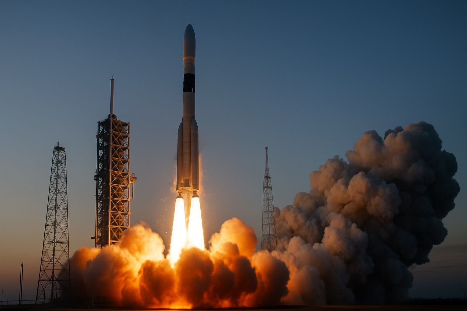
SpaceX achieved its 500th Falcon 9 mission in early July 2025, with an overnight Starlink launch featuring a booster on its 29th reuse. By July 2, 2025, SpaceX had conducted 83 Falcon 9 missions in 2025, including 61 Starlink deployments. In June 2025, the United States saw 21 commercial launches across four providers, with SpaceX…
Read more

Eyes in the Sky: How Earth Observation Is Revolutionizing Disaster Management

Sentinel-1 radar imaged the aftermath of Cyclone Idai in Mozambique in 2019 and revealed approximately 2,165 km² of flooding around the coastal city of Beira. Idai’s satellite flood maps pinpointed about 400,000 people stranded and helped allocate rescue resources. NOAA’s GOES weather satellites monitored Hurricane Dorian in 2019 as it approached the Bahamas, providing real-time…
Read more

Hyperspectral Eyes in the Sky: How Space-Based Imaging Is Revolutionizing Earth Observation

NASA’s Hyperion, launched in 2000 on the EO-1 satellite, collected 220 spectral bands from 400 to 2500 nm at 30 m resolution. A hyperspectral data cube stacks hundreds of narrow wavelength bands for every ground pixel, creating a two-dimensional spatial image plus a spectral dimension. Hyperspectral imaging records hundreds of narrow bands (often 10 nm…
Read more

Sky Scanners: How SAR Imaging Satellites Are Redefining Earth Observation

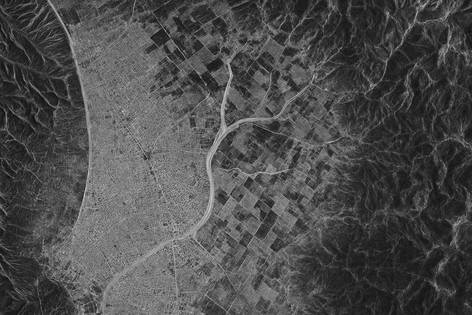
About 75% of the planet is obscured by cloud cover or darkness at any moment, making optical imaging inaccessible. Synthetic Aperture Radar (SAR) satellites actively illuminate the ground with microwave radar and synthesize a large aperture by moving the antenna to produce high-resolution images. SAR can operate day or night and in all weather, providing…
Read more