Browse Category

Satellite Imagery News 20 June 2025 - 6 August 2025

Bunker‑Buster Earthquake: New Satellite Images Expose Fordow’s Ruin—What the Bombs Hit, What Survived, and Why It Matters

Israeli Satellite Images of Iran Attack – 2025 Deep‑Dive Report, Expert Quotes & Latest Evidence

During Operation Rising Lion in mid-June 2025, Israel ingested more than 12,000 fresh satellite images during the shooting phase from the Ofek optical and SAR constellation and commercial vendors, with tens of millions of square kilometers imaged day and night.
Bunker‑Buster Earthquake: New Satellite Images Expose Fordow’s Ruin—What the Bombs Hit, What Survived, and Why It Matters

Bunker‑Buster Earthquake: New Satellite Images Expose Fordow’s Ruin—What the Bombs Hit, What Survived, and Why It Matters

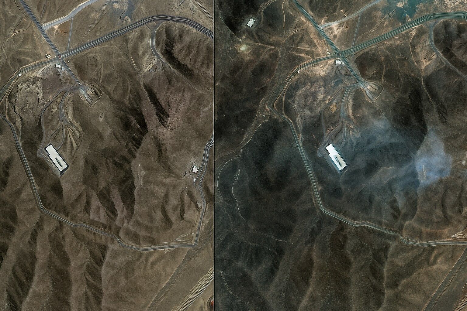
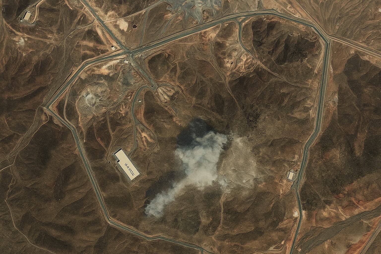
Shortly after 02:00 local time on 22 June, seven U.S. B‑2 Spirit bombers dropped 14 MOPs on Fordow with Tomahawks suppressing Iranian SAM sites. Maxar/Planet imagery shows six precisely spaced entry craters along the ridge above the centrifuge halls, forming
Explosive Satellite Images Reveal Fordow’s Secret Moves Before U.S. Strike—Inside the High‑Stakes Showdown Over Iran’s Nuclear Future

Explosive Satellite Images Reveal Fordow’s Secret Moves Before U.S. Strike—Inside the High‑Stakes Showdown Over Iran’s Nuclear Future

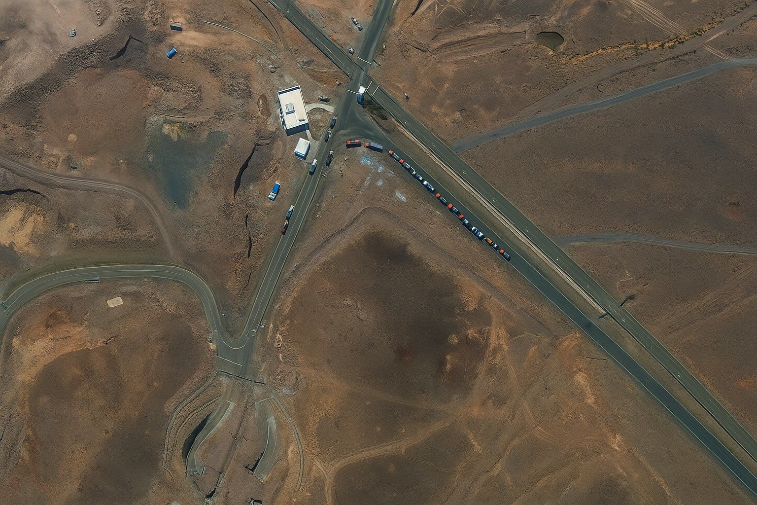
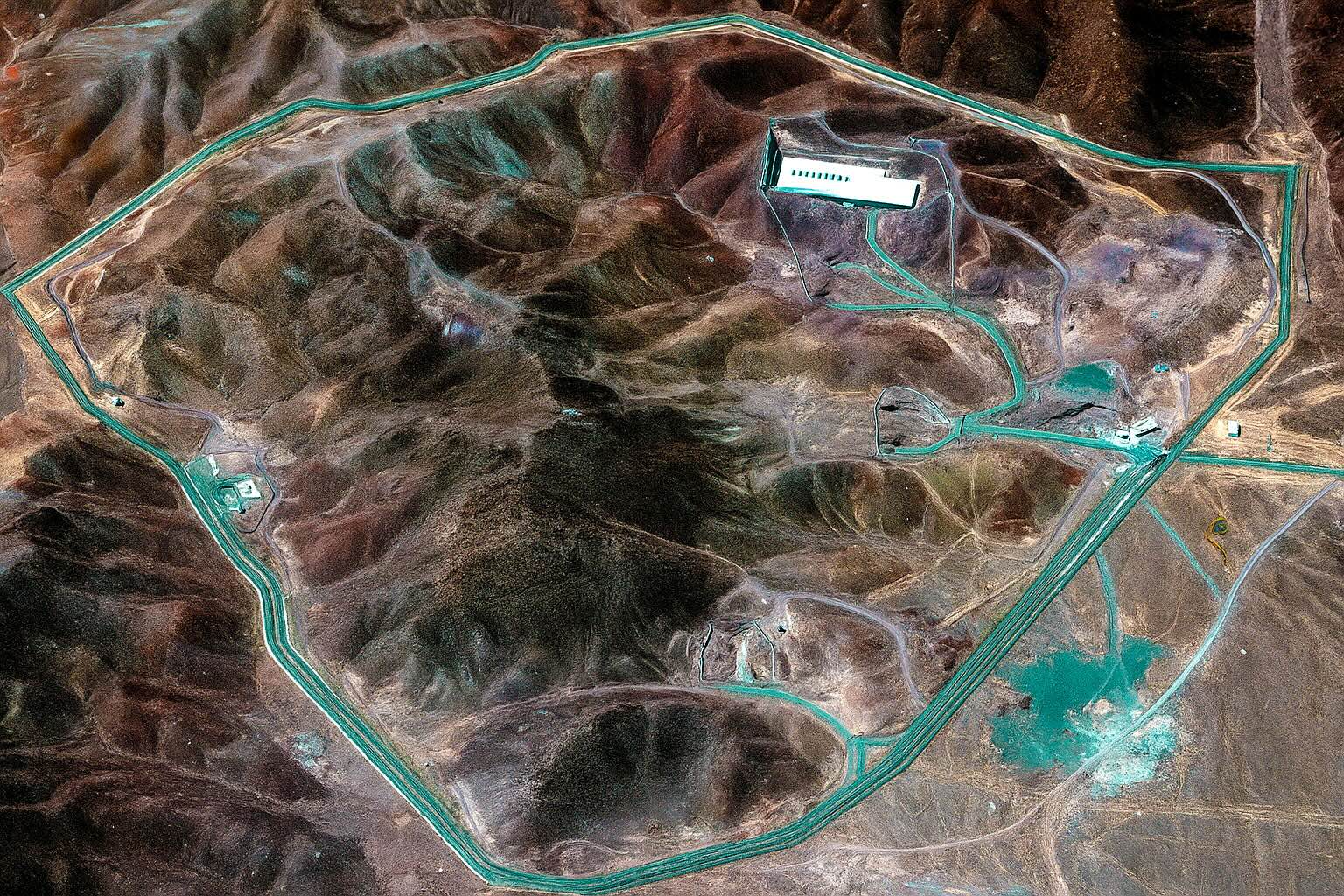
Fordow lies beneath roughly 90 metres of limestone outside Qom and houses Iran’s most advanced uranium-enrichment cascades, with enrichment reaching 60% by June 2025 per the IAEA. Fordow was exposed by Western intelligence in 2009, had activity frozen under the
Stunning Satellite Images Expose the Full Impact of U.S. Airstrikes on Iran’s Fordow, Natanz and Isfahan Nuclear Sites — What the Pictures Reveal, Why They Matter, and What Happens Next

Stunning Satellite Images Expose the Full Impact of U.S. Airstrikes on Iran’s Fordow, Natanz and Isfahan Nuclear Sites — What the Pictures Reveal, Why They Matter, and What Happens Next

On 21 June 2025, the U.S. strike package used B-2 launched GBU-57 bunker-busters and sea-launched Tomahawks to damage Natanz and Isfahan and cut external power to Fordow. Maxar Technologies and Planet imagery circulated minutes after President Trump’s confirmation, enabling open-source
Jaw‑Dropping Satellite Photos Expose Israel’s Covert Blows to Iran—What the Images Reveal, Why the Targets Mattered, and What Comes Next

Jaw‑Dropping Satellite Photos Expose Israel’s Covert Blows to Iran—What the Images Reveal, Why the Targets Mattered, and What Comes Next

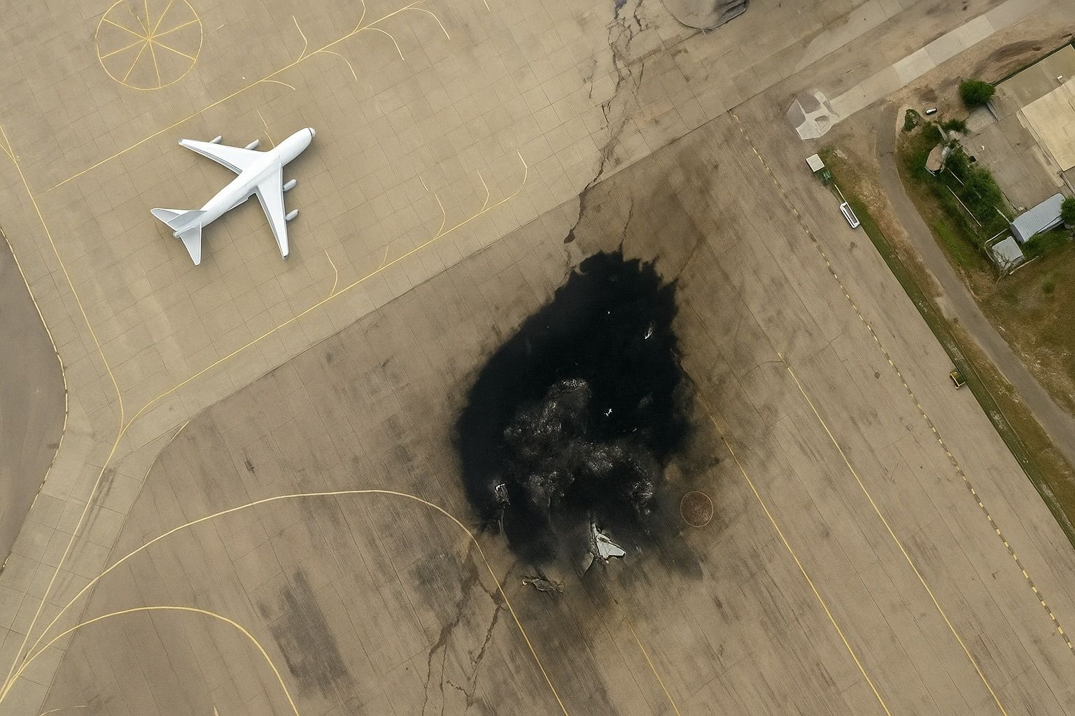
Maxar imagery taken 24 hours after Israel’s first wave shows two main halls at Natanz collapsed and scorch marks across adjoining centrifuge assembly buildings, while Isfahan reveals precision craters on the centrifuge‑production workshop. Photos published of the Arak/Khondab heavy‑water reactor
Live Satellite Images and Real-Time Maps: Top Platforms for Web & Mobile

Live Satellite Images and Real-Time Maps: Top Platforms for Web & Mobile

NOAA Earth in Real-Time offers an interactive, real-time global weather map with live imagery from GOES geostationary satellites, updated continuously and accessible free via nesdis.noaa.gov. NASA Worldview provides more than 1,000 global image layers (MODIS, VIIRS, Sentinel-2, etc.) with many
Go toTop