Browse Category

NYSE:MAXR News 4 June 2025 - 22 June 2025

Explosive Satellite Images Reveal Fordow’s Secret Moves Before U.S. Strike—Inside the High‑Stakes Showdown Over Iran’s Nuclear Future

Explosive Satellite Images Reveal Fordow’s Secret Moves Before U.S. Strike—Inside the High‑Stakes Showdown Over Iran’s Nuclear Future

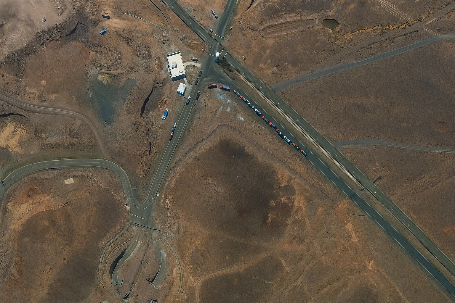
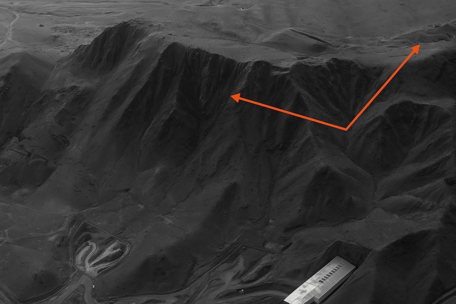
Fordow lies beneath roughly 90 metres of limestone outside Qom and houses Iran’s most advanced uranium-enrichment cascades, with enrichment reaching 60% by June 2025 per the IAEA. Fordow was exposed by Western intelligence in 2009, had activity frozen under the JCPOA from 2013 to 2015, and restarted enrichment from 2019 to 2024, reaching 60% in 2025. Commercial satellites from Planet Labs, Maxar, and Airbus imaged Fordow almost hourly in mid‑June 2025. On 19 June 2025, new ventilation stacks appeared on roof section C of Fordow, signaling possible underground welding work. On 20 June 2025, a convoy of five flat‑beds and
Stunning Satellite Images Expose the Full Impact of U.S. Airstrikes on Iran’s Fordow, Natanz and Isfahan Nuclear Sites — What the Pictures Reveal, Why They Matter, and What Happens Next

Stunning Satellite Images Expose the Full Impact of U.S. Airstrikes on Iran’s Fordow, Natanz and Isfahan Nuclear Sites — What the Pictures Reveal, Why They Matter, and What Happens Next

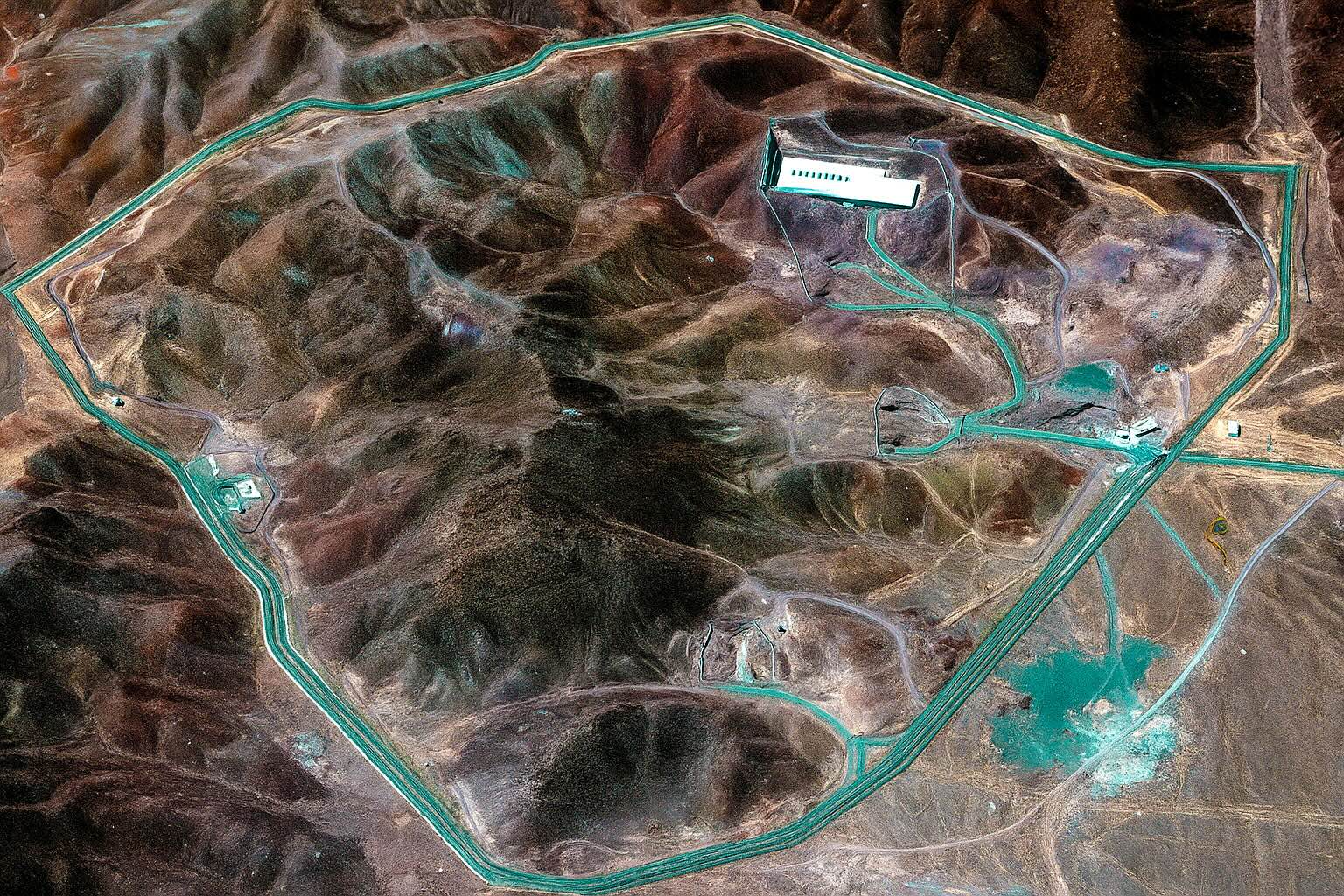
On 21 June 2025, the U.S. strike package used B-2 launched GBU-57 bunker-busters and sea-launched Tomahawks to damage Natanz and Isfahan and cut external power to Fordow. Maxar Technologies and Planet imagery circulated minutes after President Trump’s confirmation, enabling open-source observers to map bomb craters, scorched roads, and collapsed roofs at Natanz and Isfahan. IAEA Director-General Rafael Grossi said the sudden loss of external power made it “very likely” the roughly 15,000 Natanz centrifuges were badly damaged or destroyed, based on satellite evidence. Fordow is buried 80–90 meters inside Mount Kuh-e-Daryacheh and was designed to withstand direct air attack, with
Jaw‑Dropping Satellite Photos Expose Israel’s Covert Blows to Iran—What the Images Reveal, Why the Targets Mattered, and What Comes Next

Jaw‑Dropping Satellite Photos Expose Israel’s Covert Blows to Iran—What the Images Reveal, Why the Targets Mattered, and What Comes Next

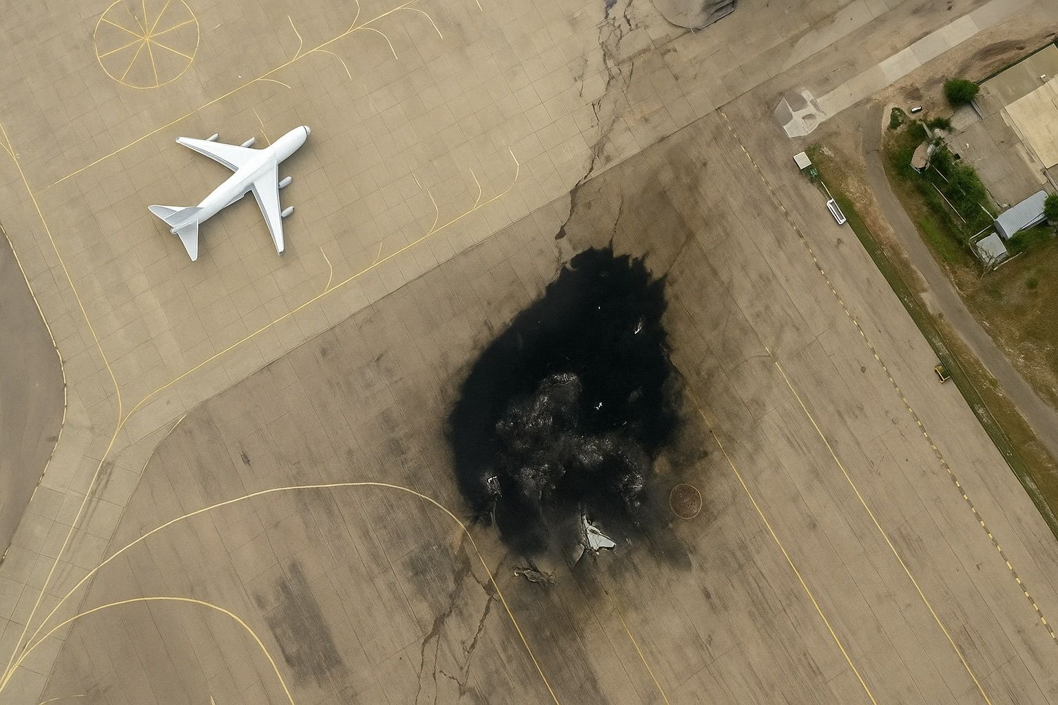
Maxar imagery taken 24 hours after Israel’s first wave shows two main halls at Natanz collapsed and scorch marks across adjoining centrifuge assembly buildings, while Isfahan reveals precision craters on the centrifuge‑production workshop. Photos published of the Arak/Khondab heavy‑water reactor show shrapnel holes in the under‑construction dome and distillation towers toppled at the neighbouring heavy‑water plant, with the IAEA saying the reactor was unfueled and thus no radiological consequences are expected. Breached tunnel portals at a Revolutionary Guard missile nest in Kermanshah, with scorched support buildings and earth‑moving equipment indicating rapid salvage. Israel’s target set and military logic centered on
Eyes in the Sky: How Earth Observation Is Revolutionizing Disaster Management

Eyes in the Sky: How Earth Observation Is Revolutionizing Disaster Management

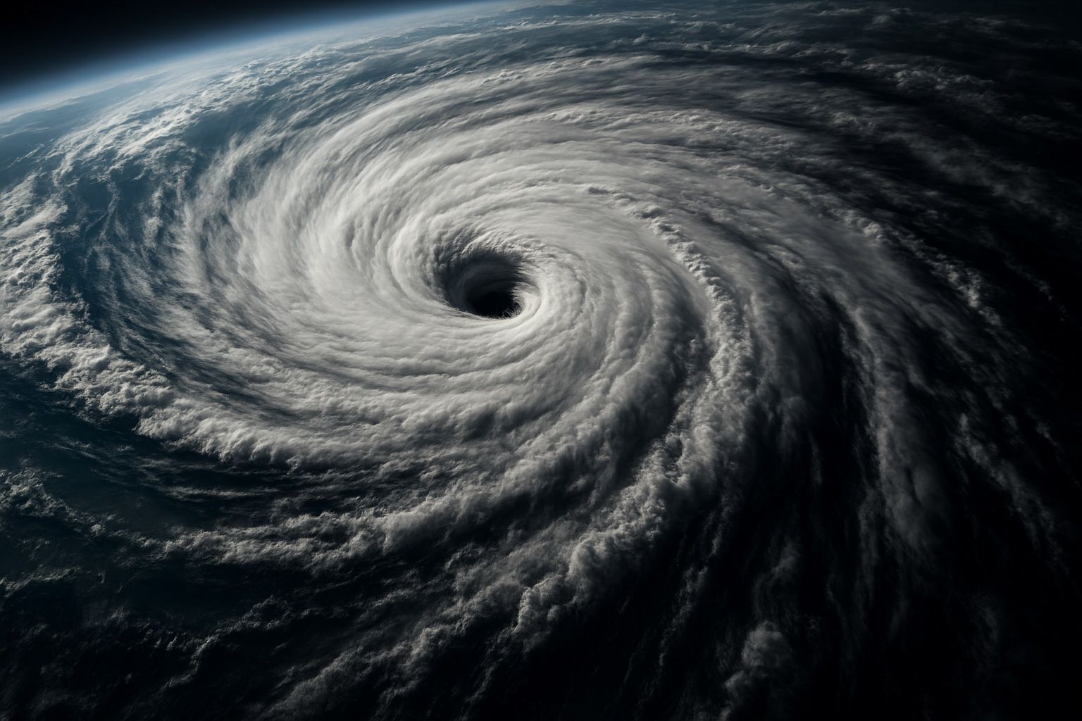
Sentinel-1 radar imaged the aftermath of Cyclone Idai in Mozambique in 2019 and revealed approximately 2,165 km² of flooding around the coastal city of Beira. Idai’s satellite flood maps pinpointed about 400,000 people stranded and helped allocate rescue resources. NOAA’s GOES weather satellites monitored Hurricane Dorian in 2019 as it approached the Bahamas, providing real-time imagery for track and intensity forecasts. The 2010 Eyjafjallajökull eruption led to satellites tracking its ash plume across Europe, prompting unprecedented airspace closures. In July 2019, NASA’s FIRMS distributed over 780,000 near real-time fire alerts worldwide. The NASA–ISRO NISAR mission, launching in 2024, will scan
Space Showdown: How Military Satellites Are Shaping the Ukraine‑Russia War

Space Showdown: How Military Satellites Are Shaping the Ukraine‑Russia War

SpaceX deployed 5,000 Starlink terminals to Ukraine within days of the 2022 invasion, rising to about 15,000 active terminals by June 2022, with Ukraine at one point accounting for roughly 58% of global Starlink traffic. Russia attempted to jam Starlink signals on the battlefield, SpaceX rolled a software update to bypass the jamming, and by 2023–2024 reports noted illicit Starlink terminals in Russian hands that had to be disabled. On February 24, 2022, Russia launched a cyberattack against Viasat’s KA-SAT network that crippled thousands of Ukrainian modems and disrupted satellite links across Europe. In August 2022, Ukraine crowdfunded $20 million
Exploring the World from Above: Top Satellite Mapping Services for Web & Mobile in 2025

Exploring the World from Above: Top Satellite Mapping Services for Web & Mobile in 2025

Google Earth offers imagery from global 15 m resolution down to sub-meter detail (30–50 cm) in many urban areas, plus 3D buildings and terrain across hundreds of cities, accessible on web, iOS/Android, and Google Earth Pro desktop. Imagery updates on Google Earth are rolling, with urban areas refreshed roughly every 1–3 years, rural areas 5+ years, major disasters updating within days, and new imagery patches released about twice a month. Google Earth Pro provides a historical imagery slider that lets users go back in time to view satellite and aerial photos dating back to the 1930s in some locations. Google
Live Satellite Images and Real-Time Maps: Top Platforms for Web & Mobile

Live Satellite Images and Real-Time Maps: Top Platforms for Web & Mobile

NOAA Earth in Real-Time offers an interactive, real-time global weather map with live imagery from GOES geostationary satellites, updated continuously and accessible free via nesdis.noaa.gov. NASA Worldview provides more than 1,000 global image layers (MODIS, VIIRS, Sentinel-2, etc.) with many layers updated within three hours of observation, plus animation, date comparison, and data download, all in a free web app. Zoom Earth aggregates imagery from NOAA GOES-East/West, EUMETSAT Meteosat, JMA Himawari, and NASA Terra/Aqua MODIS, updating as frequently as every 10–15 minutes and offering a free web and mobile app service. Google Earth provides high-resolution imagery from Landsat-8 and aerial
Spies in the Sky: The Ultimate Guide to Spy Satellites and Their Secrets

Spies in the Sky: The Ultimate Guide to Spy Satellites and Their Secrets

The CORONA (Discoverer) program operated from 1959 to 1972 as the United States’ first photo-reconnaissance satellite program, with Discoverer XIV achieving the first mid-air film recovery in August 1960. KH-11 KENNEN (CRYSTAL), first launched in 1976, introduced electro-optical digital imaging with about 15 cm per-pixel resolution, and a 2019 declassified image from USA-224 reportedly achieved around 10 cm resolution. Lacrosse/Onyx, the US SAR reconnaissance program begun in 1988, used large radar antennas for all-weather imaging and was succeeded by the smaller Topaz (FIA Radar) satellites in the 2010s. The USSR’s Zenit series began in 1961 with over 500 launches using
19 June 2025
How Satellite Technologies Are Transforming Ukraine: From Warzones to Wheat Fields

How Satellite Technologies Are Transforming Ukraine: From Warzones to Wheat Fields

In August 2022, a Ukrainian charity crowdfunded access to an ICEYE SAR satellite, providing 24/7 all-weather imaging from one satellite and access to ICEYE’s full constellation for over a year. Commercial high-resolution imagery from Maxar, Planet Labs, and BlackSky documented battlefield events such as Russian troop buildups and missile strikes. Analysts have described the Russia-Ukraine war as the most documented conflict in history thanks to the avalanche of satellite data. After the 2022 invasion, SpaceX shipped thousands of Starlink user terminals to Ukraine, and by 2024 Starlink was a reliable frontline communications partner. In February 2022, commercial satellites captured a
Satellite Imagery: Principles, Applications, and Future Trends

Satellite Imagery: Principles, Applications, and Future Trends

The first space images were captured in 1946 from a sub-orbital U.S. V-2 rocket at about 105 km altitude. The first actual satellite photograph of Earth was taken on August 14, 1959 by the U.S. Explorer 6 satellite. In 1960, TIROS-1 transmitted the first television image of Earth from orbit, a milestone for weather observation. Landsat 1, launched in 1972, began the longest-running civilian Earth-observation program with a 50-year archive, and Landsat 9 was launched in 2021 to continue it. The KH-11 KENNEN program began near-real-time digital imaging in 1977, eliminating the need for film return. IKONOS, launched in 1999,
Sky Scanners: How SAR Imaging Satellites Are Redefining Earth Observation

Sky Scanners: How SAR Imaging Satellites Are Redefining Earth Observation

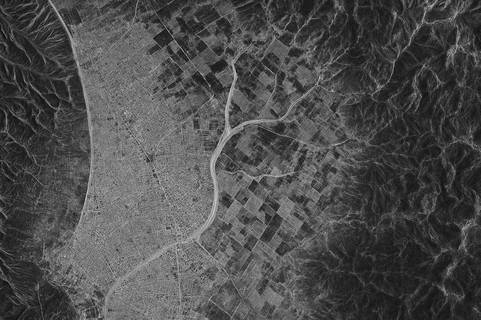
About 75% of the planet is obscured by cloud cover or darkness at any moment, making optical imaging inaccessible. Synthetic Aperture Radar (SAR) satellites actively illuminate the ground with microwave radar and synthesize a large aperture by moving the antenna to produce high-resolution images. SAR can operate day or night and in all weather, providing 24/7 imaging. Sentinel-1 (ESA) comprises satellites Sentinel-1A launched in 2014 and Sentinel-1B in 2016, with C-band SAR offering ~5 m resolution in high-resolution modes and 250–400 km swaths, and a 12-day revisit. RADARSAT-2 (Canada) launched in 2007, followed by the RADARSAT Constellation Mission (RCM) in
Military Satellite Services: Complete Guide to Secure Communications

Military Satellite Services: Complete Guide to Secure Communications

The United States operates the Advanced Extremely High Frequency (AEHF) constellation, delivering jam-resistant, global, protected military communications including nuclear command and control links. Navstar GPS is a 31-satellite global navigation system that provides precise positioning, navigation, and timing to guide munitions such as JDAM and to synchronize encrypted networks. Defense Support Program (DSP) and the Space-Based Infrared System (SBIRS) form the U.S. early-warning constellation that uses infrared sensors to detect missile launches worldwide. U.S. Keyhole KH-11 optical reconnaissance satellites (and successors) provide high-resolution imagery from space. Russia operates the Liana ELINT constellation, including Lotos-S1 in low orbit and Pion-NKS in
4 June 2025
Go toTop