Marcin Frąckiewicz

CEO of TS2 Space and founder of TS2.tech. Expert in satellites, telecommunications, and emerging technologies, covering trends in space, AI, and connectivity.

Exploring the World from Above: Top Satellite Mapping Services for Web & Mobile in 2025

Exploring the World from Above: Top Satellite Mapping Services for Web & Mobile in 2025

Google Earth offers imagery from global 15 m resolution down to sub-meter detail (30–50 cm) in many urban areas, plus 3D buildings and terrain across hundreds of cities, accessible on web, iOS/Android, and Google Earth Pro desktop. Imagery updates on Google Earth are rolling, with urban areas refreshed roughly every 1–3 years, rural areas 5+ years, major disasters updating within days, and new imagery patches released about twice a month. Google Earth Pro provides a historical imagery slider that lets users go back in time to view satellite and aerial photos dating back to the 1930s in some locations. Google
Track Satellites in Real Time – The Ultimate Guide to Satellite Trackers, Apps, and Imagery (ISS, Starlink & More)

Track Satellites in Real Time – The Ultimate Guide to Satellite Trackers, Apps, and Imagery (ISS, Starlink & More)

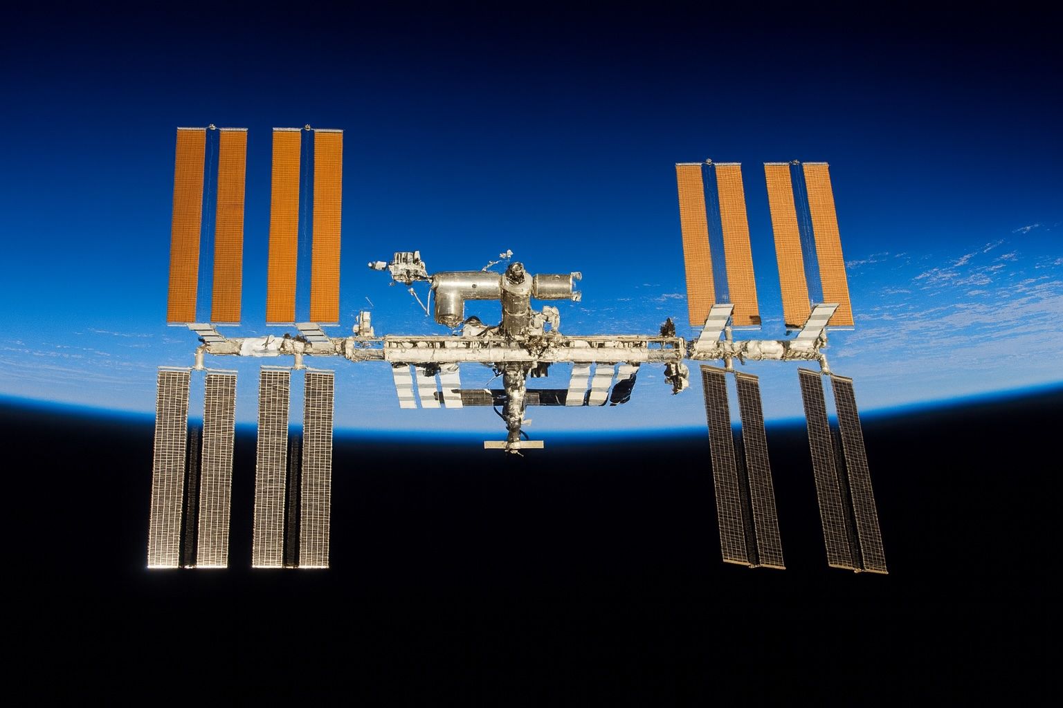
NASA released the Spot The Station mobile app in November 2023 to extend ISS flyover tracking beyond the website. FindStarlink.com provides Starlink sighting predictions with visibility labels (bright, average, dim) and a live map, plus free iOS/Android companion apps; it is ad-free and donations are optional. Orbitrack offers offline access to thousands of satellites, is a one-time purchase around $4.99, features 3D orbit visualizations and an AR Sky View, and has a Mac version for about $9.99. ISS Detector is a popular free Android and iOS app that can unlock a larger satellite catalog with a paid upgrade, sends alerts
20 June 2025
Satellite Definition: Ultimate Guide from Sputnik to SpaceX and Beyond

Satellite Definition: Ultimate Guide from Sputnik to SpaceX and Beyond

Sputnik 1, launched on October 4, 1957, was the world’s first artificial satellite. Sputnik 2, launched in 1957, carried Laika the dog into orbit, the first living creature in space. Explorer 1, launched January 31, 1958, discovered Earth’s Van Allen radiation belts, proving satellites could do serious science. TIROS-1, launched in 1960, was the first weather satellite, demonstrating that orbiting cameras could observe cloud patterns and improve forecasting. Telstar 1, launched in July 1962, became the first active communications satellite and relayed the first live television signals across the Atlantic. Geostationary orbit at about 35,786 km above the equator allows
20 June 2025
Live Satellite Images and Real-Time Maps: Top Platforms for Web & Mobile

Live Satellite Images and Real-Time Maps: Top Platforms for Web & Mobile

NOAA Earth in Real-Time offers an interactive, real-time global weather map with live imagery from GOES geostationary satellites, updated continuously and accessible free via nesdis.noaa.gov. NASA Worldview provides more than 1,000 global image layers (MODIS, VIIRS, Sentinel-2, etc.) with many layers updated within three hours of observation, plus animation, date comparison, and data download, all in a free web app. Zoom Earth aggregates imagery from NOAA GOES-East/West, EUMETSAT Meteosat, JMA Himawari, and NASA Terra/Aqua MODIS, updating as frequently as every 10–15 minutes and offering a free web and mobile app service. Google Earth provides high-resolution imagery from Landsat-8 and aerial
Midjourney Video V1 Just Dropped: Turn Any Photo into a 21-Second AI Movie—See the Jaw-Dropping Demos and Secret Settings You Need to Try Today

Midjourney Video V1 Just Dropped: Turn Any Photo into a 21-Second AI Movie—See the Jaw-Dropping Demos and Secret Settings You Need to Try Today

Midjourney released Video V1 to all subscribers on June 18–19, 2025. Video V1 turns any image into four five-second clips, extendable to 21 seconds, at roughly eight image-credits per job. It offers two motion presets, Low and High, plus an optional manual prompt to control camera flow and subject animation. Video V1 enforces hard caps of 480–1080p resolution, 24–30 fps, with no audio. The model sits on Midjourney’s V7 image pipeline; you upload or generate a still, press Animate, and motion is interpolated across 120–630 frames depending on clip length. The tool runs on the web (Discord remains image-only for
20 June 2025
From Field Phones to 5G: The Evolution of Military Radio and Telecommunications

From Field Phones to 5G: The Evolution of Military Radio and Telecommunications

Field telephones were standard on the battlefield from the 1910s through the 1980s, with the EE-8 field telephone (1930s–Vietnam) offering a 7-mile range. The SCR-300 Walkie-Talkie, developed by Galvin Manufacturing (Motorola) in 1940, was the first backpack FM radio with about a 3-mile range. SINCGARS, fielded by the U.S. Army in the late 1980s, has 2320 channels in the 30–87.975 MHz range and introduced frequency hopping to defeat jammers. The AN/PRC-148 MBITR multiband SDR is a widely deployed handheld radio, covering 30–512 MHz and with over 22,000 units deployed since 2009. The Mobile Subscriber Equipment (MSE) system, deployed in the
Satellite Radio Revolution: 14 Things You Need to Know About Its History, Technology, and Future

Satellite Radio Revolution: 14 Things You Need to Know About Its History, Technology, and Future

WorldSpace, founded in 1990, launched the first satellite radio broadcasts in October 1999 over Africa and the Middle East, with India accounting for 90% of its subscribers before filing for bankruptcy in 2008 and ceasing broadcasts in 2009. XM Satellite Radio launched its first satellite in March 2001 and began broadcasting to U.S. customers on September 25, 2001. Sirius Satellite Radio rolled out in February 2002 in select U.S. cities and reached nationwide service by July 2002. Sirius signed Howard Stern in 2004 in what it described as “the most important deal in radio history.” XM secured a $650 million
Beyond Cell Coverage: The Ultimate 2025 Guide to Satellite Texting Services

Beyond Cell Coverage: The Ultimate 2025 Guide to Satellite Texting Services

In late 2022, Apple launched Emergency SOS via satellite on the iPhone 14 series, enabling two-way emergency texting via Globalstar satellites. As of iOS 17 and later, iPhone 14/15 users in supported regions can share their location and send basic non-emergency texts via satellite, with two years of free service after activation before a paid plan. Garmin’s inReach Mini 2 provides global two-way texting via the Iridium network, with plans from about $15/month to $65/month and devices typically priced around $350–$450. ZOLEO uses the Iridium network for global messaging, costs about $200 for the device, offers plans from roughly $20
Satellite TV Secrets Unveiled: From Space-Age Origins to the Future of Television

Satellite TV Secrets Unveiled: From Space-Age Origins to the Future of Television

Telstar 1 (NASA) transmitted the first live television signals via satellite in 1962, linking Europe and North America. Syncom 2 became the first geosynchronous satellite in 1963, and Syncom 3 in 1964 broadcast the Tokyo Olympics to the United States. Intelsat I (Early Bird) was launched in 1965 as the world’s first commercial communications satellite carrying regular transoceanic TV service. Astra 1A, launched in 1988, used Ku-band to enable small 90 cm dishes and sparked a European satellite TV boom. In 1979 the FCC ruled that anyone could install a home satellite earth station without a federal license, accelerating consumer
19 June 2025
Sky Spies: The Ultimate Guide to Weather Satellites Tracking Storms, Saving Lives, and Monitoring Climate

Sky Spies: The Ultimate Guide to Weather Satellites Tracking Storms, Saving Lives, and Monitoring Climate

TIROS-1, launched by NASA on April 1, 1960, weighed about 120 kg and transmitted over 19,000 cloud images in 78 days, proving the concept of space-based weather observation. GOES-16 (GOES-East), launched in 2016 as part of the GOES-R series, delivers 0.5 km resolution imagery across 16 spectral bands and can scan as often as 30 seconds, and it carries the Geostationary Lightning Mapper. Meteosat-1, launched in 1977, was Europe’s first geostationary meteorological satellite at 0° longitude and introduced a water vapor channel for moisture tracking. Japan’s Himawari-8 (2014) and Himawari-9 (2016) operate at 140°E, providing high-resolution full-disk imagery every 10
19 June 2025
Spies in the Sky: The Ultimate Guide to Spy Satellites and Their Secrets

Spies in the Sky: The Ultimate Guide to Spy Satellites and Their Secrets

The CORONA (Discoverer) program operated from 1959 to 1972 as the United States’ first photo-reconnaissance satellite program, with Discoverer XIV achieving the first mid-air film recovery in August 1960. KH-11 KENNEN (CRYSTAL), first launched in 1976, introduced electro-optical digital imaging with about 15 cm per-pixel resolution, and a 2019 declassified image from USA-224 reportedly achieved around 10 cm resolution. Lacrosse/Onyx, the US SAR reconnaissance program begun in 1988, used large radar antennas for all-weather imaging and was succeeded by the smaller Topaz (FIA Radar) satellites in the 2010s. The USSR’s Zenit series began in 1961 with over 500 launches using
19 June 2025
13,000-Year-Old Alien Satellite? Unraveling the Black Knight Conspiracy Theory

13,000-Year-Old Alien Satellite? Unraveling the Black Knight Conspiracy Theory

The Black Knight legend links Nikola Tesla’s 1899 reports of periodic radio signals from Colorado Springs to the idea of an ancient satellite in Earth orbit. In 1927 Jørgen Hals observed long-delayed echoes, and in 1973 Duncan Lunan claimed a star map pointing to Epsilon Boötes suggesting a 13,000-year-old alien probe, later retracting parts of the interpretation. In 1954 Donald Keyhoe asserted the Air Force had detected two unknown satellites, a claim with little evidence and likely a publicity stunt. In February 1960 the U.S. military detected an unidentified dark object in polar orbit, later identified as Discoverer 8 debris
19 June 2025
1 307 308 309 310 311 321
Go toTop