
Space Showdown: Starlink Doubleheader, Vulcan’s Debut, Ariane 6 Triumph & Cosmic Discoveries (Aug 14–15, 2025)
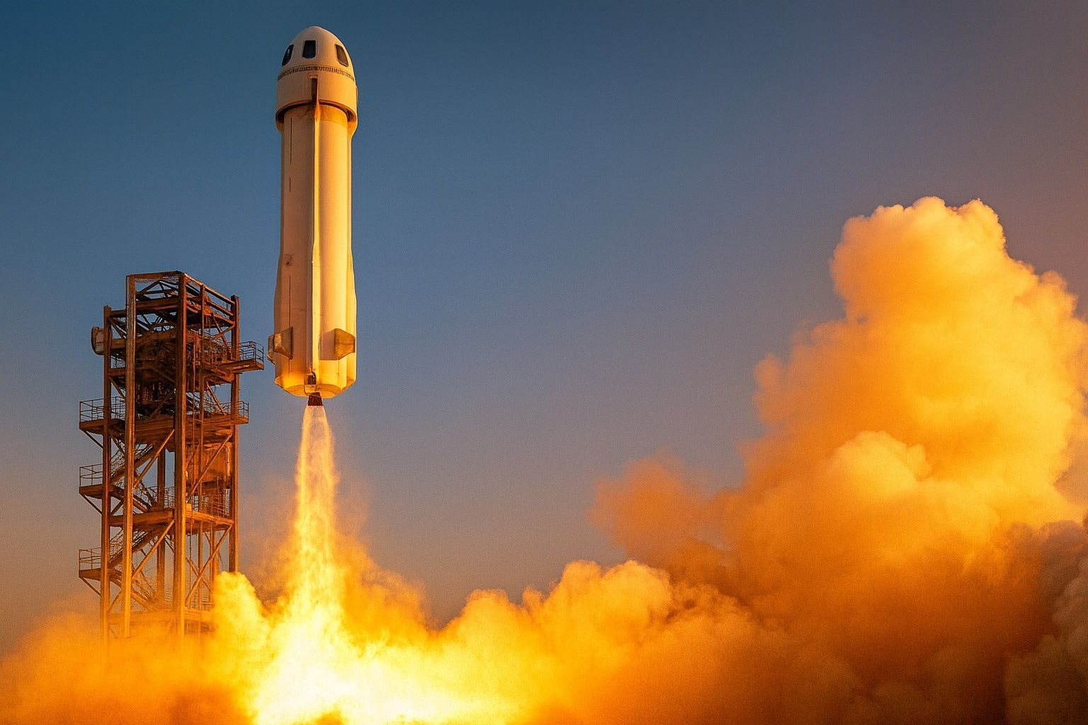
SpaceX demonstrated its unprecedented launch cadence on Aug. 14 by launching two Falcon 9 missions just half a day apart space.com. In the early morning hours, a Falcon 9 lifted off from Vandenberg Space Force Base in California carrying 24 Starlink internet satellites; by 8:29 a.m. EDT the same day, another Falcon 9 roared from Cape Canaveral, Florida with 28 Starlink satellites space.com. SpaceX confirmed successful deployment of all satellites space.com. Both missions saw veteran first-stage boosters safely recovered at sea, one marking its 10th flight space.com. These back-to-back launches brought SpaceX’s 2025 launch count to 99 Falcon 9 flights, with over 8,100 active Starlink satellites now in orbit space.com – a staggering expansion of the Starlink megaconstellation.